Hurricane Beryl
- DoctorMu
- Posts: 7869
- Joined: Sun Jun 28, 2015 11:58 am
- Location: College Station
- Contact:
I'm on computer and phone...but that eye looks like it's headed for Surfside Beach. Am I wrong??
- don
- Posts: 3143
- Joined: Wed Feb 03, 2010 3:33 pm
- Location: Wichita Falls
- Contact:
Eye wall developing on radar.
- srainhoutx
- Site Admin

- Posts: 19700
- Joined: Tue Feb 02, 2010 2:32 pm
- Location: Maggie Valley, NC
- Contact:
Yeah, I believe the N to NNE shift is occurring. Next pass should confirm. AF C130 enroute from Biloxi. We should have continual RECON til landfall now.
Carla/Alicia/Jerry(In The Eye)/Michelle/Charley/Ivan/Dennis/Katrina/Rita/Wilma/Humberto/Ike/Harvey
Member: National Weather Association
Facebook.com/Weather Infinity
Twitter @WeatherInfinity
Member: National Weather Association
Facebook.com/Weather Infinity
Twitter @WeatherInfinity
- DoctorMu
- Posts: 7869
- Joined: Sun Jun 28, 2015 11:58 am
- Location: College Station
- Contact:
Don, that eye is tightening. And if Beryl has stopped gaining longitude, she's landing east (north) of Sargent.
- DoctorMu
- Posts: 7869
- Joined: Sun Jun 28, 2015 11:58 am
- Location: College Station
- Contact:
- Attachments
-
- Screenshot 2024-07-07 at 8.24.26 PM.jpeg
- (260.17 KiB) Downloaded 11153 times
- don
- Posts: 3143
- Joined: Wed Feb 03, 2010 3:33 pm
- Location: Wichita Falls
- Contact:
The 0Z HRRR slows Beryl down more once it makes landfall.Shows a longer duration of high wind gust over the area.Also QPF amounts below.
- Ptarmigan
- Statistical Specialist

- Posts: 4488
- Joined: Wed Feb 03, 2010 7:20 pm
- Contact:
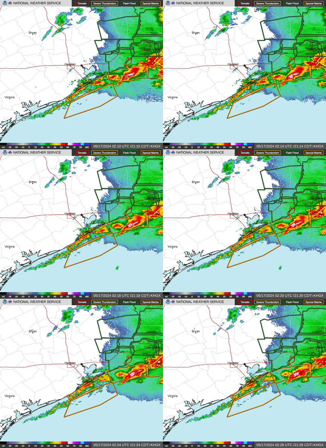
Most recent NWS Houston Doppler radar loop.


- DoctorMu
- Posts: 7869
- Joined: Sun Jun 28, 2015 11:58 am
- Location: College Station
- Contact:
Timmer noticed this some minutes ago.srainhoutx wrote: ↑Sun Jul 07, 2024 8:25 pmYeah, I believe the N to NNE shift is occurring. Next pass should confirm. AF C130 enroute from Biloxi. We should have continual RECON til landfall now.
- DoctorMu
- Posts: 7869
- Joined: Sun Jun 28, 2015 11:58 am
- Location: College Station
- Contact:
Assuming Beryl is on a northerly course, that appears to be eye is too far west on HRRR.
-
AtascocitaWX
- Posts: 164
- Joined: Mon Jun 19, 2017 3:29 pm
- Location: Atascocita,Tx
- Contact:
Looking like Freeport or a little east@ Cat 1. She running out of time ,which is a good thing. Hurricane models still say she will be strenghing until landfall, I just don't think so . I though at this point she will be a cat 1 already but she still struggling.
- Rip76
- Posts: 2109
- Joined: Mon Feb 15, 2010 12:38 am
- Location: The Woodlands
- Contact:
- don
- Posts: 3143
- Joined: Wed Feb 03, 2010 3:33 pm
- Location: Wichita Falls
- Contact:
Beryl may get an upgrade to a hurricane soon 69 Knot flight level winds found...
-
txbear
- Posts: 249
- Joined: Wed Oct 31, 2018 12:54 pm
- Contact:
Sargent to Surfside looks like it. Due north to my untrained eyes. With what y’all are saying about the early turn, perhaps even further east than surfside?
- srainhoutx
- Site Admin

- Posts: 19700
- Joined: Tue Feb 02, 2010 2:32 pm
- Location: Maggie Valley, NC
- Contact:
Looks like Beryl is back to a Hurricane. A couple of more passes should confirm NNE motion.
Carla/Alicia/Jerry(In The Eye)/Michelle/Charley/Ivan/Dennis/Katrina/Rita/Wilma/Humberto/Ike/Harvey
Member: National Weather Association
Facebook.com/Weather Infinity
Twitter @WeatherInfinity
Member: National Weather Association
Facebook.com/Weather Infinity
Twitter @WeatherInfinity
- Rip76
- Posts: 2109
- Joined: Mon Feb 15, 2010 12:38 am
- Location: The Woodlands
- Contact:
Man these things love to ride the coastline.
Friction?
Friction?
-
biggerbyte
- Posts: 1429
- Joined: Thu Feb 04, 2010 12:15 am
- Location: Porter, Texas. (Montgomery County)
- Contact:
We will need official confirmation of any easterly component. Many times certain behavior can give an illusion of movement in a particular direction..
- don
- Posts: 3143
- Joined: Wed Feb 03, 2010 3:33 pm
- Location: Wichita Falls
- Contact:
The eyewall is starting to show on local radar, and the rainshield is moving inland now into Matagorda and Brazoria counties.