What a difference 24 hours can make across the area. Most roads and freeways are usable this morning except for a few isolated areas. One major location shut down is the I-10 East Freeway near Channelview due to some major damage underneath the overpass due to barges that escaped on the San Jacinto River and slammed into the bridge.
More from khou:
https://www.khou.com/article/traffic/i- ... 44d75f6c81
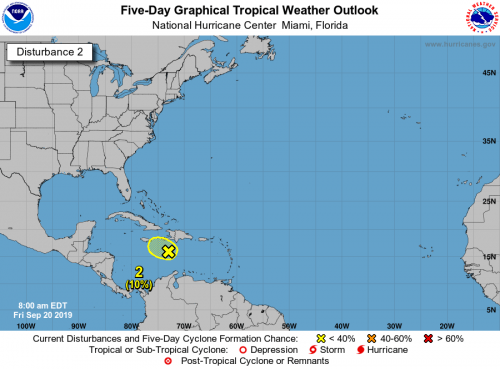
Houston is a strong community and it's nice to see so many help each other in times of need yesterday. Its disheartening to see another significant flood event across SETX but we've been through this many times recently and if there's any bright side to it all, it brings the community together. With that said, hopefully we can dry as our attention will need to turn to some deep tropical moisture currently in the Caribbean. NHC currently gives this disturbance a 10% of development. Some models suggest this could get its act together once in the GoM, others at this time keep it as an open wave. Regardless, there's good consensus that the moisture will be moving into the NW Gulf.

- NHC Atlantic
A broad area of low pressure located over the central Caribbean Sea
is producing disorganized shower and thunderstorm activity, mainly
to the east and northeast of its center of circulation. This system
is expected to move slowly west-northwestward and significant
development is unlikely due to strong upper-level winds. Regardless
of development, locally heavy rainfall is possible over portions of
the Greater Antilles during the next few days.
* Formation chance through 48 hours...low...10 percent.
* Formation chance through 5 days...low...10 percent.
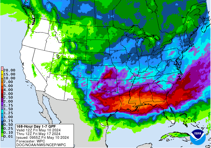
Looking at the longer range, an active pattern looks to continue. The stubborn ridge that was parked over TX for much of August and first half of September looks to be gone as Imelda so-to-speak has buckled the stagnant weather pattern. Indications are that we'll get a fetch of deep tropical moisture continuing into the month of October and fronts beginning to work there way down here - likely stalling to our north - focusing an enhanced rainfall along the stalled boundary. In addition, a robust Kelvin Wave will likely heat up the tropics again during the next few weeks. Climatologically speaking, our threat begins to diminish come October, however, Mother Nature doesn't always follow the calendar.


