
Sraintx,
Do they normally do drops ( I know they do during hurricane season) in the winter? Is this something new?
January Weather Discussion: Slight Chance Severe Storms
-
tireman4

- Global Moderator

- Posts: 7095
- Joined: Wed Feb 03, 2010 9:24 pm
- Location: Humble, Texas
- Contact:
-
srainhoutx

- Site Admin

- Posts: 19700
- Joined: Tue Feb 02, 2010 2:32 pm
- Location: Maggie Valley, NC
- Contact:
The Pacific missions are G-IV (high altitude) flights. As you can see, they will be dropping from 40-45 K FT. No, this is not something new. When guidance suggests a major winter event, additional upper air data is requested and tasked. This helps the guidance in the data sparse regions of the Pacific. C-130's have also been moved to AK for additional data in the past.tireman4 wrote:Sraintx,
Do they normally do drops ( I know they do during hurricane season) in the winter? Is this something new?
Carla/Alicia/Jerry(In The Eye)/Michelle/Charley/Ivan/Dennis/Katrina/Rita/Wilma/Humberto/Ike/Harvey
Member: National Weather Association
Facebook.com/Weather Infinity
Twitter @WeatherInfinity
Member: National Weather Association
Facebook.com/Weather Infinity
Twitter @WeatherInfinity
-
Katdaddy

- Global Moderator
- Posts: 2521
- Joined: Thu Feb 04, 2010 8:18 am
- Location: League City, Tx
- Contact:
Valentines 1895 Houson-Galveston snow storm link:
http://galvestondailynews.com/blog.lass ... 2009-02-15
http://galvestondailynews.com/blog.lass ... 2009-02-15
-
srainhoutx
- Site Admin
- Posts: 19700
- Joined: Tue Feb 02, 2010 2:32 pm
- Location: Maggie Valley, NC
- Contact:
HGX agrees with the HPC regarding the timing of the Arctic front next Saturday. Nice to see them acknowledge one key ingredient needed for any wintry weather chances that may follow will need...
MODELS ARE
CARRYING SOME SLIGHT TIMING DIFFERENCES FOR NEXT WEEKEND`S COLD FRONT.
WHEN IT DOES MOVE THROUGH (WENT WITH A SATURDAY NIGHT PASSAGE WITH
THIS FORECAST PACKAGE)...WE WILL SEE COLDER TEMPERATURES FOR THE END
OF THE MONTH AND THE BEGINNING OF FEBRUARY AS STRONG HIGH PRESSURE
BEGINS TO RIDGE INTO THE AREA FROM THE NORTHERN PLAINS.
Carla/Alicia/Jerry(In The Eye)/Michelle/Charley/Ivan/Dennis/Katrina/Rita/Wilma/Humberto/Ike/Harvey
Member: National Weather Association
Facebook.com/Weather Infinity
Twitter @WeatherInfinity
Member: National Weather Association
Facebook.com/Weather Infinity
Twitter @WeatherInfinity
-
sambucol

- Posts: 1244
- Joined: Wed Feb 03, 2010 5:43 pm
- Location: Mont Belvieu
- Contact:
What kind of temps are we looking at in SETX with the next Arctic front passage Saturday?
-
txsnowmaker
- Posts: 733
- Joined: Wed Feb 03, 2010 4:07 pm
- Location: SW Houston (Galleria area)
- Contact:
The latest GFS meteogram shows about 1 inch of freezing rain in Houston on February 1. Is it just as likely that this could fall as snow (10 inches based on the 1 to 10 conversion) if the temps and moisture arrive as advertised?
-
TexasMetBlake
- Pro Met

- Posts: 839
- Joined: Wed Feb 03, 2010 7:03 pm
- Location: Spring/Woodlands
- Contact:
That's only true on some cases. It really depends on temps and how much moisture is available. The colder it is, the less depth you will get during a snow event.
-
txsnowmaker
- Posts: 733
- Joined: Wed Feb 03, 2010 4:07 pm
- Location: SW Houston (Galleria area)
- Contact:
Candy Cane wrote:That's only true on some cases. It really depends on temps and how much moisture is available. The colder it is, the less depth you will get during a snow event.
Thanks Candy Cane. Putting amounts aside, would this be any more likely to fall as snow than freezing rain? Also, what kind of damage would an inch of freezing rain inflict on our area?
-
Andrew
- Site Admin
- Posts: 3508
- Joined: Wed Feb 03, 2010 9:46 pm
- Location: North-West Houston
- Contact:
sambucol wrote:What kind of temps are we looking at in SETX with the next Arctic front passage Saturday?
Gfs and others are showing freezing temps after the front. It will most likely be similar to this last front.
Off topic but how bout Texas? Let's go Let's go beating those Jayhawks!
For Your Infinite Source For All Things Weather Visit Our Facebook
-
TexasMetBlake
- Pro Met
- Posts: 839
- Joined: Wed Feb 03, 2010 7:03 pm
- Location: Spring/Woodlands
- Contact:
This may be a slight exaggeration, but an inch of ice would bring down many powerlines and trees...it would appear as though Ike had visited again. I heard one time that .5" of ice on a stardard stretch of powerlines (between poles) adds 500 lbs of additional weight. An ice storm of that magnitude would bring down thousands of branches and trees and powerlines.txsnowmaker wrote:Candy Cane wrote:That's only true on some cases. It really depends on temps and how much moisture is available. The colder it is, the less depth you will get during a snow event.
Thanks Candy Cane. Putting amounts aside, would this be any more likely to fall as snow than freezing rain? Also, what kind of damage would an inch of freezing rain inflict on our area?
-
Andrew
- Site Admin
- Posts: 3508
- Joined: Wed Feb 03, 2010 9:46 pm
- Location: North-West Houston
- Contact:
Candy Cane wrote:This may be a slight exaggeration, but an inch of ice would bring down many powerlines and trees...it would appear as though Ike had visited again. I heard one time that .5" of ice on a stardard stretch of powerlines (between poles) adds 500 lbs of additional weight. An ice storm of that magnitude would bring down thousands of branches and trees and powerlines.txsnowmaker wrote:Candy Cane wrote:That's only true on some cases. It really depends on temps and how much moisture is available. The colder it is, the less depth you will get during a snow event.
Thanks Candy Cane. Putting amounts aside, would this be any more likely to fall as snow than freezing rain? Also, what kind of damage would an inch of freezing rain inflict on our area?
An inch of ice would be terrible. Let's pray an inch of ice does not happen. Let's pray.
For Your Infinite Source For All Things Weather Visit Our Facebook
-
txsnowmaker
- Posts: 733
- Joined: Wed Feb 03, 2010 4:07 pm
- Location: SW Houston (Galleria area)
- Contact:
Sounds like a nightmare. If this fell as snow instead of freezing rain, I wonder how much accumulation most residential rooftops in this region would be equipped to withstand. Thanks for your thoughts Candy Cane.
-
jabcwb2
- Posts: 232
- Joined: Thu Feb 04, 2010 5:43 am
- Location: Houston 77066
- Contact:
Regardless of what kind of precip falls, aren't we going to warm up again and it melt anyway within a couple of hours or are you thinking we will stay cold enough for any frozen precip to hang around for a couple of days?
-
TexasBreeze
- Posts: 1025
- Joined: Sun Sep 26, 2010 4:46 pm
- Location: NW Houston, TX
- Contact:
fwiw 18z gfs dropped snow around here and has small amts in North-Central TX. Still cold though. The model keeps showing good things 10 days away and it disappears as time passes by.
-
Andrew
- Site Admin
- Posts: 3508
- Joined: Wed Feb 03, 2010 9:46 pm
- Location: North-West Houston
- Contact:
jabcwb2 wrote:Regardless of what kind of precip falls, aren't we going to warm up again and it melt anyway within a couple of hours or are you thinking we will stay cold enough for any frozen precip to hang around for a couple of days?
It depends on how strong of a blast we get. If we got frozen rain it could very well stay around for a day or so causing a lot of destruction. It is too far out to really know at this point on any specifics.
For Your Infinite Source For All Things Weather Visit Our Facebook
-
txsnowmaker
- Posts: 733
- Joined: Wed Feb 03, 2010 4:07 pm
- Location: SW Houston (Galleria area)
- Contact:
TexasBreeze wrote:fwiw 18z gfs dropped snow around here and has small amts in North-Central TX. Still cold though. The model keeps showing good things 10 days away and it disappears as time passes by.
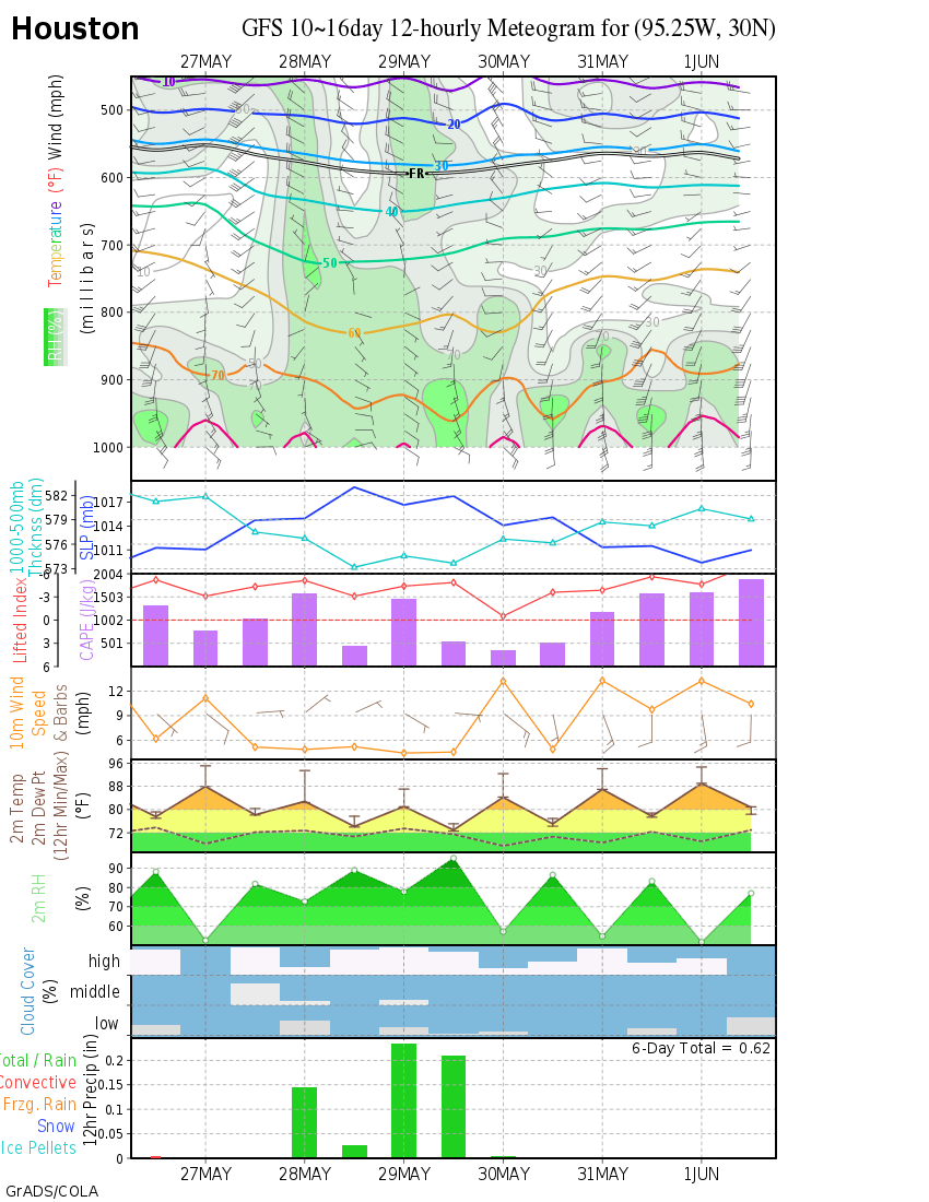
Help me understand your comment about snow around here. The GFS meteogram shows freezing rain (http://wxmaps.org/pix/iahgfsb.png), while the Twister Data snow depth chart shows no snow in Houston (http://www.twisterdata.com/index.php?pr ... hive=false).
-
TexasBreeze
- Posts: 1025
- Joined: Sun Sep 26, 2010 4:46 pm
- Location: NW Houston, TX
- Contact:
The meteogram is from 12z model run, not the 18. The 18z is not too big of a deal though most data is ingested in 0z and 12z.txsnowmaker wrote:TexasBreeze wrote:fwiw 18z gfs dropped snow around here and has small amts in North-Central TX. Still cold though. The model keeps showing good things 10 days away and it disappears as time passes by.
Help me understand your comment about snow around here. The GFS meteogram shows freezing rain (http://wxmaps.org/pix/iahgfsb.png), while the Twister Data snow depth chart shows no snow in Houston (http://www.twisterdata.com/index.php?pr ... hive=false).
-
txsnowmaker
- Posts: 733
- Joined: Wed Feb 03, 2010 4:07 pm
- Location: SW Houston (Galleria area)
- Contact:
Very helpful and good to know. Thanks Texas Breeze.TexasBreeze wrote:The meteogram is from 12z model run, not the 18. The 18z is not too big of a deal though most data is ingested in 0z and 12z.txsnowmaker wrote:TexasBreeze wrote:fwiw 18z gfs dropped snow around here and has small amts in North-Central TX. Still cold though. The model keeps showing good things 10 days away and it disappears as time passes by.
Help me understand your comment about snow around here. The GFS meteogram shows freezing rain (http://wxmaps.org/pix/iahgfsb.png), while the Twister Data snow depth chart shows no snow in Houston (http://www.twisterdata.com/index.php?pr ... hive=false).
-
Andrew
- Site Admin
- Posts: 3508
- Joined: Wed Feb 03, 2010 9:46 pm
- Location: North-West Houston
- Contact:
TexasBreeze wrote:The meteogram is from 12z model run, not the 18. The 18z is not too big of a deal though most data is ingested in 0z and 12z.txsnowmaker wrote:TexasBreeze wrote:fwiw 18z gfs dropped snow around here and has small amts in North-Central TX. Still cold though. The model keeps showing good things 10 days away and it disappears as time passes by.
Help me understand your comment about snow around here. The GFS meteogram shows freezing rain (http://wxmaps.org/pix/iahgfsb.png), while the Twister Data snow depth chart shows no snow in Houston (http://www.twisterdata.com/index.php?pr ... hive=false).
Remember gray doesn't mean snow. That run shows no real snow for most of Texas. Look for green+ colors for actual snow.
For Your Infinite Source For All Things Weather Visit Our Facebook
-
Rich
- Posts: 79
- Joined: Fri Feb 19, 2010 9:38 pm
- Location: Pearland,Tx
- Contact:
Am I not looking at something right? Because when I look at the 18z gfs it shows snow for SE Texas around hour 252. By hour 276
it is showing snow all the way to the Gulf!
http://www.twisterdata.com/index.php?pr ... hive=false
http://www.twisterdata.com/index.php?pr ... hive=false
it is showing snow all the way to the Gulf!
http://www.twisterdata.com/index.php?pr ... hive=false
http://www.twisterdata.com/index.php?pr ... hive=false