August 2025
Easterlies continue? I'm rolling for spurts of Florida weather for as long as possible this summer.
Tropics start heating up in August.
CPC forecast looking decent for rain the first part of August.
-
Stratton20
- Posts: 5511
- Joined: Tue Feb 09, 2021 11:35 pm
- Location: College Station, Texas
- Contact:
Pas_Bon weak stalled frontal boundary
Which is fine until the FROPA enters the Gulf.
Been seeing this FROPA on Euro for a few days.
-
Stratton20
- Posts: 5511
- Joined: Tue Feb 09, 2021 11:35 pm
- Location: College Station, Texas
- Contact:
DoctorMu yep, always gotta watch the tail end of those fronts for some mischief
Precisely what I’m worried about.
Though better than the past two summers, just for the record, this generally wetter weather pattern over SE TX since May has been a disappointment here at my house. While most neighborhoods in our area experienced decent measurable rainfall accumulations over these past few months, I would usually get either dry slotted or end up with trace amounts. My grass has turned brown in the front and back yard not because of long duration of excessive heat like that of 2023 and 2024, but because of the general lack of rainfall in my subdivision.
So going forward to make sure my grass doesn’t totally die off, I will water my lawn up until the point where rain actually falls at my house regardless of the forecast for a ‘wetter pattern’. Hopefully, the remainder of the year will yield better results with rainfall accumulations here at the house.
So going forward to make sure my grass doesn’t totally die off, I will water my lawn up until the point where rain actually falls at my house regardless of the forecast for a ‘wetter pattern’. Hopefully, the remainder of the year will yield better results with rainfall accumulations here at the house.
Just sayin.' Be prepared in August.
- Attachments
-
- ec-aifs_mslp_pcpn_us_60.png (164.1 KiB) Viewed 19127 times
Yesterday the NWS was teasing with 60% chances of rain on Saturday. Today they lowered it to 50%.
Just an observation
Just an observation
So close, yet so far away.
NWS now up to 70% tomorrow.
NWS now up to 70% tomorrow.
- Attachments
-
- IMG_3714.png (6.11 MiB) Viewed 18938 times
Even with the clouds I managed to reach a late afternoon Sunny 99.1 over here. 
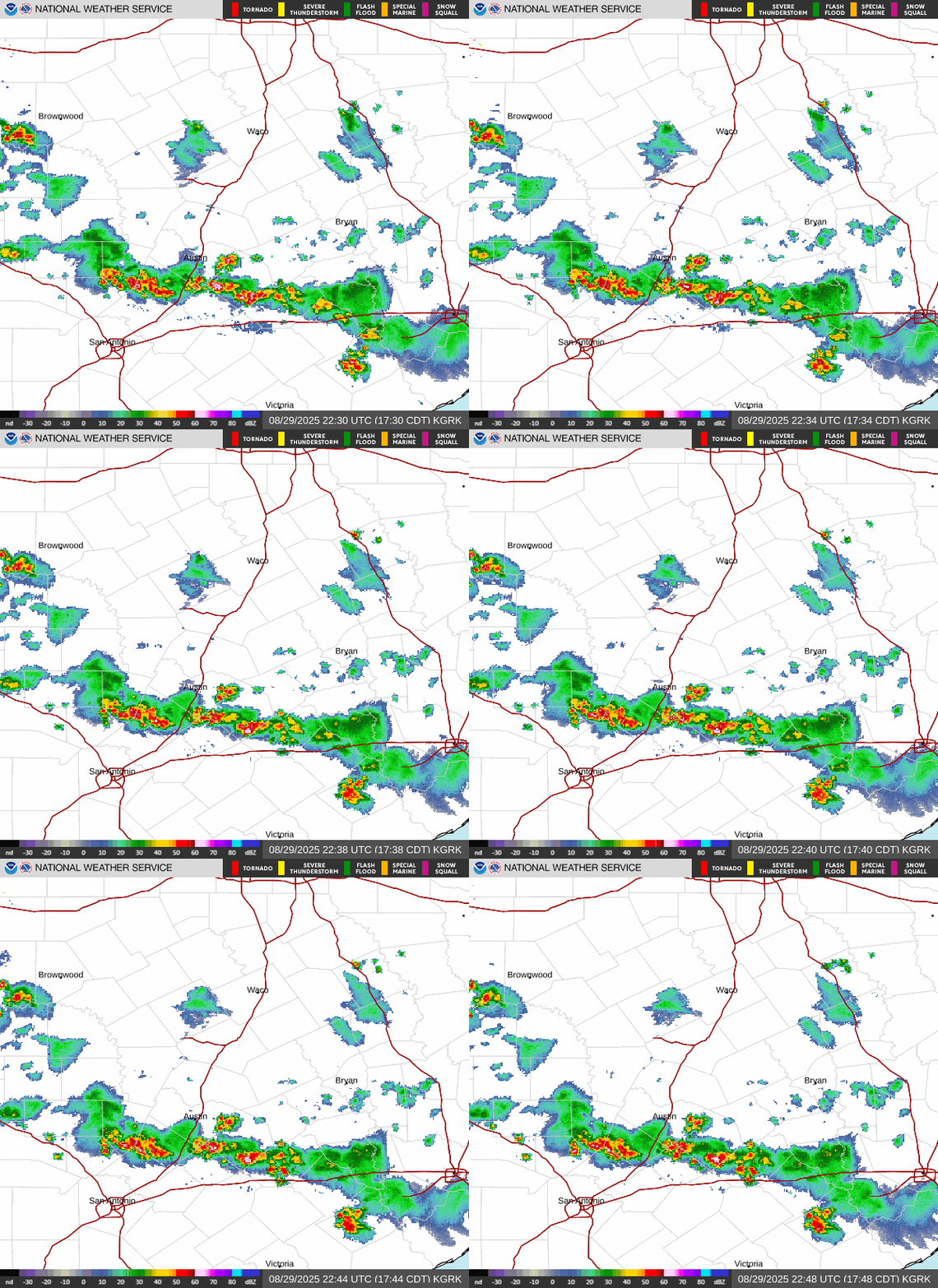
Will probably run out of gas before reaching CLL and our yard...but FROPA sighting.


Area Forecast Discussion
National Weather Service Houston/Galveston TX
512 PM CDT Fri Aug 1 2025
...New AVIATION...
.KEY MESSAGES...
Issued at 1225 PM CDT Fri Aug 1 2025
- Daily risk of showers/thunderstorms through early next week.
- Strongest storms will be capable of producing locally heavy
rainfall. Marginal risk (level 1 of 4) of excessive rainfall on
Friday and Saturday across Southeast Texas.
- Seasonably hot/humid conditions and daily risk of isolated to
scattered showers/thunderstorms next week.
&&
.DISCUSSION...
Issued at 1225 PM CDT Fri Aug 1 2025
Ridging aloft remains situated over the Southwest CONUS/Northern
Mexico this afternoon, with SE Texas on the eastern peripheral. A
weak trough/disturbance is in place just overhead while weak surface
boundary approaches from the north. The broader environment favors
high precipitation efficiency with abundant PWs of 1.6-2.2 inches,
near or over the 90th climatological percentile. Low Corfidi vectors
and weak 0-6km mean winds further indicate slower-morning storms as
well. Periods of isolated to scattered showers/thunderstorms will be
possible over the weekend, some of which could produce strong
downpours and locally heavy rainfall. WPC still has SE Texas
outlooked for a Marginal Risk (level 1/4) of Excessive Rainfall
tonight through Saturday. Most areas will generally see under 1
inch of rainfall during this period, though isolated spots could
see locally higher amounts, upwards of 2-3 inches with any heavier
downpours. Ponding on roadways and minor street flooding in
urban/low lying areas are common to see in setups such as this.
Sunday begins to see a shift in this broader synoptic pattern.
Riding remains centered over the SW CONUS, though will gradually
weaken, evident from falling midlevel heights, as a series of
disturbances pass through the W/NW CONUS/Plains. One of these
disturbances comes in the form of a mid/upper level trough, which
will dig across the Plains/Mississippi River Valley through early
next week. As this trough pushes eastward into the TN Valley/Ohio
Valley, the aforementioned ridge shifts eastward slightly and
strengthens through the end of the work week. Still, SE Texas
remains on the southeastern edge of this ridge throughout the
remainder of the forecast period, allowing a number of weaker
shortwave impulses to pass over this still moisture-rich area.
Periods of showers and thunderstorms remain a daily possibility,
with only a minor reduction of PoPs through Thursday. Temperatures
will still be hot throughout next week with highs in he 90s and
lows in the 70s/lower 80s. Triple digit heat indices expected
almost daily, mainly areas that receive no rainfall.
03
&&

