
June 2024
-
tireman4

- Global Moderator

- Posts: 7161
- Joined: Wed Feb 03, 2010 9:24 pm
- Location: Humble, Texas
- Contact:
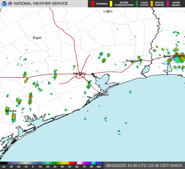
Coastal Flooding
- Attachments
-
- GQcUiycXAAATlCq.png (310.56 KiB) Viewed 4789 times
-
biggerbyte
- Posts: 1441
- Joined: Thu Feb 04, 2010 12:15 am
- Location: Porter, Texas. (Montgomery County)
- Contact:
Well, points south of houston got pretty wet last night. North of houston, if you sneezed you missed it.
This system is a named dud, truth be known. However look down in the BOC today.
This system is a named dud, truth be known. However look down in the BOC today.
-
sswinney
- Posts: 64
- Joined: Thu Aug 24, 2017 3:29 pm
- Location: League City
- Contact:
Yeah I was wondering about this. Convection looks to be really firing off. Surprised because it looks healthier now than it has ever.biggerbyte wrote: ↑Wed Jun 19, 2024 10:30 am Well, points south of houston got pretty wet last night. North of houston, if you sneezed you missed it.
This system is a named dud, truth be known. However look down in the BOC today.
Been here for years since Katrina.
-
cperk
- Posts: 858
- Joined: Sun Aug 19, 2012 12:09 pm
- Location: Richmond
- Contact:
I think that pile of junk is getting it's act together.
-
Rip76

- Posts: 2151
- Joined: Mon Feb 15, 2010 12:38 am
- Location: The Woodlands
- Contact:

-
Cpv17
- Posts: 7109
- Joined: Fri Aug 31, 2018 1:58 pm
- Location: El Campo/Wharton
- Contact:
Meh, it looks better than yesterday for sure, but still not impressed with it. It probably found a pocket of low shear on the S side and DMAX helped it out. I’m just not a fan of wasting names on borderline storms.
-
don

- Posts: 3148
- Joined: Wed Feb 03, 2010 3:33 pm
- Location: Wichita Falls
- Contact:
What a bust...this was one of the bigger bust in a while. LOL 

-
DoctorMu

- Posts: 8089
- Joined: Sun Jun 28, 2015 11:58 am
- Location: College Station
- Contact:
We're getting some of that tiny droplets, misty tropical rain. There won't be much accumulation, but any cloudy wet days in the summer in CLL are good days.
-
DoctorMu
- Posts: 8089
- Joined: Sun Jun 28, 2015 11:58 am
- Location: College Station
- Contact:
This has been progged as a largely a south of I-10 event for over 48 hours. NWS progged their solution consistently south of the models. That's why model iteration watches that change every 4 hours are pretty close to useless, especially with the initial conditions unknown.biggerbyte wrote: ↑Wed Jun 19, 2024 10:30 am Well, points south of houston got pretty wet last night. North of houston, if you sneezed you missed it.
This system is a named dud, truth be known. However look down in the BOC today.
The short-term forecast is not a bust. Alberto (aka strawberry lemonade) was a weak, lemonade system from the get go. The model forecasts swung back and forth and struggled until about 48 hours out because the initial conditions were undefined. The guesswork prior to that brought a CoC too far north and thus overestimated the flux of tropical GoM air into SETX...and underestimated the east coast ridge.
Having said that, it's a very weaksauce named storm.
So far. The Valley and southern Hill Country could see some scoreboard on the rainfall and the CoC moves into northern Mexico. We'll see.
-
DoctorMu
- Posts: 8089
- Joined: Sun Jun 28, 2015 11:58 am
- Location: College Station
- Contact:
-
Dls2010r
- Posts: 185
- Joined: Sat Dec 01, 2018 6:21 am
- Contact:
Heck I’m not complaining. I’ve gotten just shy of 2 inches in Santa Fe. My veggies and grass are loving it.
-
Cpv17
- Posts: 7109
- Joined: Fri Aug 31, 2018 1:58 pm
- Location: El Campo/Wharton
- Contact:
-
Cpv17
- Posts: 7109
- Joined: Fri Aug 31, 2018 1:58 pm
- Location: El Campo/Wharton
- Contact:
-
DoctorMu
- Posts: 8089
- Joined: Sun Jun 28, 2015 11:58 am
- Location: College Station
- Contact:
No surprise, but flooding in Rockport.
-
DoctorMu
- Posts: 8089
- Joined: Sun Jun 28, 2015 11:58 am
- Location: College Station
- Contact:
-
Dls2010r
- Posts: 185
- Joined: Sat Dec 01, 2018 6:21 am
- Contact:
Still raining on and off. But windy. My rain gauge is just shy of 2 inches. Lucky I guess. 

-
don
- Posts: 3148
- Joined: Wed Feb 03, 2010 3:33 pm
- Location: Wichita Falls
- Contact:
Interesting the rain has started again, let’s see how long it last.
-
sswinney
- Posts: 64
- Joined: Thu Aug 24, 2017 3:29 pm
- Location: League City
- Contact:
Decent feeder band coming in and looks to run right up 45 from Galveston
Been here for years since Katrina.
-
Rip76
- Posts: 2151
- Joined: Mon Feb 15, 2010 12:38 am
- Location: The Woodlands
- Contact: