
I've reached out to Andrew via text to check on the image upload problem. It isn't working for me either.jasons2k wrote: ↑Wed Oct 04, 2023 11:39 am Getting a nice downpour now. I’d sent a radar snap but the image uploader is still broken.
I don’t waste my time with 3rd party sites because I can’t tell you how many of my old photo libraries and links eventually disappeared from Storm2K. So now I just upload them natively so they stay in the archives.
October 2023
-
srainhoutx

- Site Admin

- Posts: 19700
- Joined: Tue Feb 02, 2010 2:32 pm
- Location: Maggie Valley, NC
- Contact:
Carla/Alicia/Jerry(In The Eye)/Michelle/Charley/Ivan/Dennis/Katrina/Rita/Wilma/Humberto/Ike/Harvey
Member: National Weather Association
Facebook.com/Weather Infinity
Twitter @WeatherInfinity
Member: National Weather Association
Facebook.com/Weather Infinity
Twitter @WeatherInfinity
-
Stratton20
- Posts: 5870
- Joined: Tue Feb 09, 2021 11:35 pm
- Location: College Station, Texas
- Contact:
Big fat goose egg up here, not a drop of rain, figures
-
jasons2k

- Posts: 6201
- Joined: Thu Feb 04, 2010 12:54 pm
- Location: Imperial Oaks
- Contact:
Thank you sir! It’s great to see you checking-in on us.srainhoutx wrote: ↑Wed Oct 04, 2023 12:46 pmI've reached out to Andrew via text to check on the image upload problem. It isn't working for me either.jasons2k wrote: ↑Wed Oct 04, 2023 11:39 am Getting a nice downpour now. I’d sent a radar snap but the image uploader is still broken.
I don’t waste my time with 3rd party sites because I can’t tell you how many of my old photo libraries and links eventually disappeared from Storm2K. So now I just upload them natively so they stay in the archives.
Approaching 3/4” for the day over here. Caught a glimpse of the puffy cloud tops in the approaching band - looks very tropical.
-
kyzsl51
- Posts: 67
- Joined: Thu Feb 03, 2011 1:10 pm
- Contact:
You must really love the rain lol...rainy days make me feel sad.
-
Cpv17
- Posts: 7109
- Joined: Fri Aug 31, 2018 1:58 pm
- Location: El Campo/Wharton
- Contact:
We need rain desperately where I live. Still in an exceptional drought.
And yes, I love the rain but mostly only heavy rain. Don’t care much for the light stuff. Heavy thunderstorms make me very happy and excited!
-
DoctorMu

- Posts: 8091
- Joined: Sun Jun 28, 2015 11:58 am
- Location: College Station
- Contact:
Same here. Bust for today (a 70-80% heavy rain day). Only a tenth of rain yesterday.
Perhaps the EPAC moisture will come to the rescue early tomorrow am...but the arrival syncs with peak stability, so...
-
Stratton20
- Posts: 5870
- Joined: Tue Feb 09, 2021 11:35 pm
- Location: College Station, Texas
- Contact:
Looks like the front arrives early in the morning, definitely not good if you are looking for heavy rain, stable air?
-
Cpv17
- Posts: 7109
- Joined: Fri Aug 31, 2018 1:58 pm
- Location: El Campo/Wharton
- Contact:
Yep. That’s literally the worst possible time for rain.Stratton20 wrote: ↑Wed Oct 04, 2023 7:29 pm Looks like the front arrives early in the morning, definitely not good if you are looking for heavy rain, stable air?
-
Cromagnum
- Posts: 3076
- Joined: Thu Feb 03, 2011 10:42 pm
- Location: Georgetown
- Contact:
May this be the start of a ridiculously long fall/winter that doesn't let up until June.
-
jasons2k
- Posts: 6201
- Joined: Thu Feb 04, 2010 12:54 pm
- Location: Imperial Oaks
- Contact:
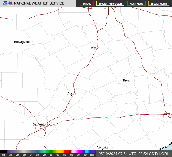
9:57 - The squall line with the front is pushing through the southern parts of the DFW metro area.
It’s still pretty intense with a tornado warning on the south side of Dallas, DeSoto, etc towards I-45. By the way, if anyone is from DFW you know that corridor by DeSoto, Ennis. etc. south of Dallas for some reason is a tornado magnet.
A lot of models showed it falling apart as it came into SE Texas. We’ll see.
-
DoctorMu
- Posts: 8091
- Joined: Sun Jun 28, 2015 11:58 am
- Location: College Station
- Contact:
-
DoctorMu
- Posts: 8091
- Joined: Sun Jun 28, 2015 11:58 am
- Location: College Station
- Contact:
There's a chance - hopefully, the line won't split and we get a downpour not drizzle.

-
don

- Posts: 3148
- Joined: Wed Feb 03, 2010 3:33 pm
- Location: Wichita Falls
- Contact:
The HRRR has been consistently showing the line of storms holding together. And now most of the 0Z mesoscale models also agree with the HRRR.I'm personally not too concerned about the storm complex falling apart...


-
DoctorMu
- Posts: 8091
- Joined: Sun Jun 28, 2015 11:58 am
- Location: College Station
- Contact:
Don - I was about to post meso pics. NAM has the weaker sauce, but the remainder show more consistent action. Either N or S of Hwy 1*5.


After this rain chances look low for a week with cooler, drier air filtering in.
After this rain chances look low for a week with cooler, drier air filtering in.
-
Stratton20
- Posts: 5870
- Joined: Tue Feb 09, 2021 11:35 pm
- Location: College Station, Texas
- Contact:
This was probably our last week in the 90’s, after this frontal passage and cool down, all i see is mid 80’s for highs for pretty much the long term barring anymore fronts, summer has officially met its demise!

-
jasons2k
- Posts: 6201
- Joined: Thu Feb 04, 2010 12:54 pm
- Location: Imperial Oaks
- Contact:
FWIW I think we will get decent coverage from the line/MCS coming down. Much needed rainfall for those who missed out, especially up by B/CS.
-
Cromagnum
- Posts: 3076
- Joined: Thu Feb 03, 2011 10:42 pm
- Location: Georgetown
- Contact:
What time are we thinking this hits Houston? Rush hour?
-
sambucol

- Posts: 1248
- Joined: Wed Feb 03, 2010 5:43 pm
- Location: Mont Belvieu
- Contact:
-
Cpv17
- Posts: 7109
- Joined: Fri Aug 31, 2018 1:58 pm
- Location: El Campo/Wharton
- Contact:
Well I’ve gotten .20” so far this week. Hoping I get 2” in the morning!
-
Pas_Bon
- Posts: 968
- Joined: Tue Sep 11, 2018 7:58 am
- Location: League City, TX
- Contact: