

That cell moving toward Hillsborough looks really nasty.
April 2024

Today's 12Z EURO vs 12Z GFS
- Screenshot 2024-04-26 at 15-29-32 Models ECMWF - Pivotal Weather.png (1.11 MiB) Viewed 781 times
- Screenshot 2024-04-26 at 15-29-42 Models GFS - Pivotal Weather.png (1 MiB) Viewed 781 times
Tornado went by Hillsborough. Major tornadic even near Omaha.
Really hoping the Euro is right. The GFS shafts me again.
12Z EURO vs 12Z GFS, same story different day LOL.
- Screenshot 2024-04-27 at 13-53-27 Models ECMWF - Pivotal Weather.png (1.14 MiB) Viewed 604 times
- Screenshot 2024-04-27 at 13-53-39 Models GFS - Pivotal Weather.png (1015.68 KiB) Viewed 604 times

Wow, up near Seymour. I’ve driven through there so many times.
- Attachments
-
- IMG_1118.png (1.41 MiB) Viewed 572 times
-
- IMG_1117.png (2.02 MiB) Viewed 572 times


Keep building south.
From 80% chance of rain to potential bust. We'll see.
Could be a Lucy.
Could be a Lucy.
I’m just hoping we don’t have to wait till the tropics heat up to get any rain. That could be awhile.
-
TexasBreeze
- Posts: 944
- Joined: Sun Sep 26, 2010 4:46 pm
- Location: NW Houston, TX
- Contact:
Maybe better luck later with scattered showers developing possibly meeting up with the activity to the west. We will see. That part of the line isn't moving anywhere fast though.
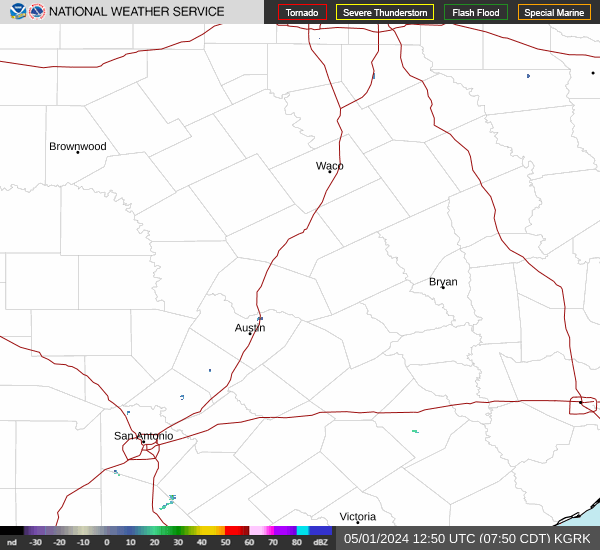
Couple active tornadoes northwest of B/CS
Tornado Warning issued April 28 at 3:37PM CDT until April 28 at 4:15PM CDT by NWS Fort Worth TX
TORFWD
The National Weather Service in Fort Worth has issued a
* Tornado Warning for...
Southeastern Freestone County in central Texas...
* Until 415 PM CDT.
* At 337 PM CDT, a severe thunderstorm capable of producing a tornado
was located 7 miles southeast of Teague, moving east at 30 mph.
HAZARD...Tornado and half dollar size hail.
SOURCE...Radar indicated rotation.
IMPACT...Flying debris will be dangerous to those caught without
shelter. Mobile homes will be damaged or destroyed.
Damage to roofs, windows, and vehicles will occur. Tree
damage is likely.
* This tornadic thunderstorm will remain over mainly rural areas of
southeastern Freestone County, including the following locations...
Lanely, Dew, and Red Lake.
This includes Interstate 45 between mile markers 185 and 196.
Instructions
Motorists should not take shelter under highway overpasses. If you
cannot safely drive away from the tornado, as a last resort, abandon
your vehicle and lie down in a low lying area and protect yourself
from flying debris.