Hey SRAIN et. al. Just found this place again (like the new layout).
SRAIN- I'm your Jew pal from Sugar Land.
Can any of you please translate all these pretty pictures into normal people language? When are they predicting the cold weather and what are the chances of frozen precip?
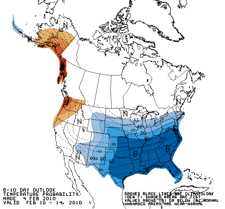
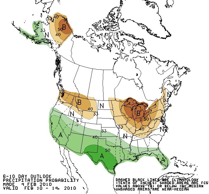
The run looks a lot like the 0z run. It has gone back to much colder and more precip ... basically saying "game on" for a winter storm threat for much of Texas late next week. I'll refrain from commenting further.
Portastorm wrote:The run looks a lot like the 0z run. It has gone back to much colder and more precip ... basically saying "game on" for a winter storm threat for much of Texas late next week. I'll refrain from commenting further.
I'm in New Orleans and what you guys get in Houston usually comes this way, that's why I'm interested in what you say here. Except the December snow didn't quite make it all the way to New Orleans, but it was close!!
Welcome, harpman. Perhaps you could edit your profile to put in your location so we know where you are when we respond about weather that might impact you.
Portastorm wrote:The run looks a lot like the 0z run. It has gone back to much colder and more precip ... basically saying "game on" for a winter storm threat for much of Texas late next week. I'll refrain from commenting further.
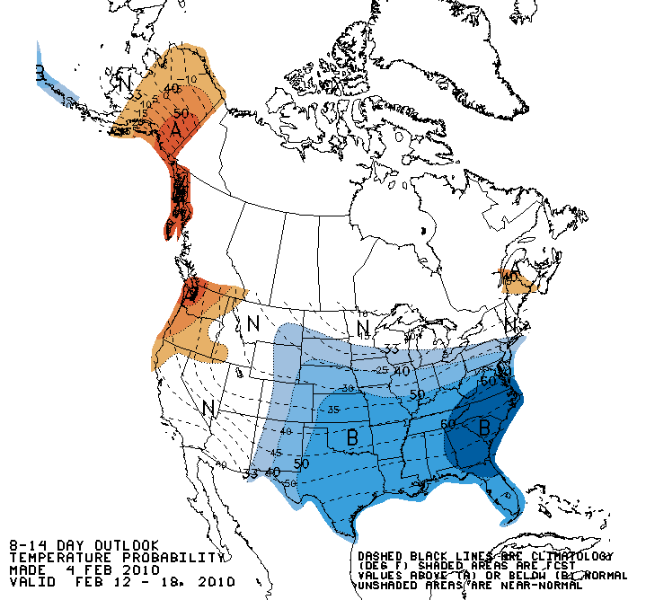
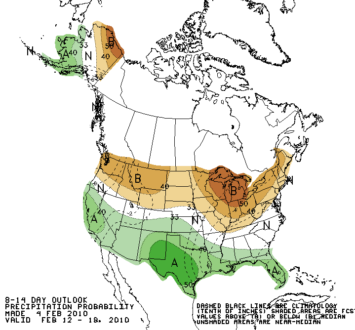
Don, those last three computer models very much look as though SE Texas may very well receive x-number of good sleet storms next week. Or is that not true?
Very close call on the 0z GFS for the Houston area. Definitely a widespread area of wintry precip across a large portion of Texas next wednesday and thursday being shown...
It may be pretty messy for some people across the state by the end of next week. We are still talking in the day 6 and 7 range, so a lot will change by then.
It looks like the airmass will become a bit shallow as it settles over the area. High pressure overhead oozes the cold air into our area on the surface, as upper heights build in response to the large shortwave trough pushing into the northeast. Freezing rain could be an issue for some. Of course, this all depends on how cold the airmass really is as it heads into the state. It is impossible to know that detail this far out.
Yep the GFS shows the freezing line a little north of the I-10 corridor for most of the event with light to moderate snow and freezing rain/sleet over areas north of I-10 for what its worth.