
August 2020:
-
srainhoutx

- Site Admin

- Posts: 19616
- Joined: Tue Feb 02, 2010 2:32 pm
- Location: Maggie Valley, NC
- Contact:
Squall moving in toward Liberty County may pack a bit more of a punch.
Carla/Alicia/Jerry(In The Eye)/Michelle/Charley/Ivan/Dennis/Katrina/Rita/Wilma/Humberto/Ike/Harvey
Member: National Weather Association
Facebook.com/Weather Infinity
Twitter @WeatherInfinity
Member: National Weather Association
Facebook.com/Weather Infinity
Twitter @WeatherInfinity
Man she’s bombing out. Unbelievable intensification. Prayers to all in the direct path of Laura
This is becoming one of the more challenging chases I've ever had with Josh. Really making life threatening decisions.
Have fear that there will be some chasers that lose their lives by pushing it to much.
Have fear that there will be some chasers that lose their lives by pushing it to much.
-
ccbluewater
- Posts: 64
- Joined: Tue May 23, 2017 1:16 pm
- Location: Cypress
- Contact:
Has anyone measure the distance from eye to edge of the core, looks like glancing blow to the whole I-45 corridor. Any one agree?
That's what I've been saying . Is watch the western edge of the CDO. Any nudge west makes a huge huge difference to the i45 corridor
-
tireman4

- Global Moderator

- Posts: 4488
- Joined: Wed Feb 03, 2010 9:24 pm
- Location: Humble, Texas
- Contact:
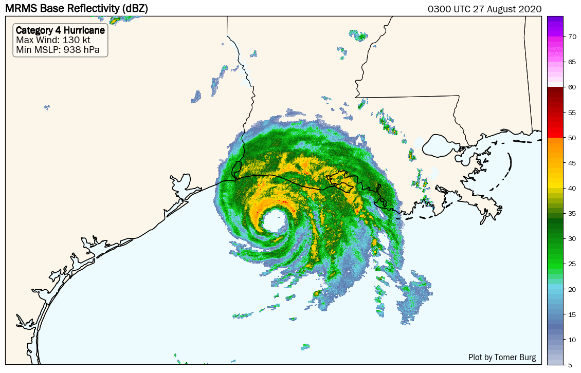
Latest dropsonde indicates a minimum MSLP of 948 hPa, continuing Laura's rapid deepening. We're now up to a ~21 hPa decrease in 8:30 hours since this morning's first center pass.These plots are now updating on my site by demand: https://t.co/T3LMwEkg2r pic.twitter.com/vgrn0LOtzj
-- Tomer Burg (@burgwx) August 26, 2020
-- Tomer Burg (@burgwx) August 26, 2020
Yeah it was really small but I wasn't expecting such a good wind gust out of it.. It has returned to sunny and dry again. Near the mall
-
AtascocitaWX
- Posts: 92
- Joined: Mon Jun 19, 2017 3:29 pm
- Location: Atascocita,Tx
- Contact:
She is Southwest of the track.
-
tireman4
- Global Moderator
- Posts: 4488
- Joined: Wed Feb 03, 2010 9:24 pm
- Location: Humble, Texas
- Contact:
#Laura intensifies much faster than forecasted before landfall. The inner core ( #KLCH) substantially contracts in the past 6 hours. Over very warm water, the storm outflow effectively resist the shear coming from the upper-level jet. Still RI, a Cat-5 is very likely at landfall. pic.twitter.com/8hvy45GXyP
-- Xiaomin Chen (@XiaominChen7) August 26, 2020
-- Xiaomin Chen (@XiaominChen7) August 26, 2020

What does that mean for Baytown and surrounding areas?
-
prospects8903
- Posts: 61
- Joined: Thu Aug 21, 2014 9:29 am
- Contact:
Looks like Laura is hugging the west side of the cone if I’m looking at it correctly
-
srainhoutx
- Site Admin
- Posts: 19616
- Joined: Tue Feb 02, 2010 2:32 pm
- Location: Maggie Valley, NC
- Contact:
Tornado Watch coming for portions of SE Texas and Louisiana.
- Attachments
-
Carla/Alicia/Jerry(In The Eye)/Michelle/Charley/Ivan/Dennis/Katrina/Rita/Wilma/Humberto/Ike/Harvey
Member: National Weather Association
Facebook.com/Weather Infinity
Twitter @WeatherInfinity
Member: National Weather Association
Facebook.com/Weather Infinity
Twitter @WeatherInfinity
-
Kingwood36
- Posts: 1592
- Joined: Sat Dec 29, 2018 10:29 am
- Location: Freeport
- Contact:
I dont believe she isprospects8903 wrote: ↑Wed Aug 26, 2020 2:38 pm Looks like Laura is hugging the west side of the cone if I’m looking at it correctly
with surge like that, in topography like that, I just can't imagine there's a safe place to be within 30 miles of the coast in the landfall area
stay safe y'all
-
Texaspirate11

- Posts: 1278
- Joined: Tue Dec 31, 2013 12:24 am
- Contact:
Lake Charles NWS evacuated
Just because you're disabled, you don't have to be a victim
Be Weather Aware & Prepared!
Barbara Jordan Winner in Media
Disability Integration Consultant
Be Weather Aware & Prepared!
Barbara Jordan Winner in Media
Disability Integration Consultant

prospects8903 wrote: ↑Wed Aug 26, 2020 2:38 pm Looks like Laura is hugging the west side of the cone if I’m looking at it correctly
At least Laura seems to be turning over the past 2 hours.
-
AtascocitaWX
- Posts: 92
- Joined: Mon Jun 19, 2017 3:29 pm
- Location: Atascocita,Tx
- Contact:
Space City Wx guys says the turn is happening now."
Laura is moving northwest at 16 mph, which is blazing fast for this part of the Gulf. For folks in Houston, it's important to know that Laura is doing what is expected, and "the turn" is underway. It's not "if" or "when." It "is" happening, and thankfully in the world of 21st century meteorology we can say that with authority. We will not be hit too hard here by this storm. Laura is expected to make landfall on the Cameron Parish side of the Texas/Louisiana border as a category 4 hurricane tonight perhaps around or just before midnight.
Yeah we're already on a backup, backup plan. Should tell you how serious this is getting.
Apparently chasers are already sending out 911 calls near the coast.