I love a good storm

Hazardous Weather Outlook
National Weather Service Houston/Galveston TX
427 AM CDT Sat Apr 29 2017
TXZ163-164-176>179-195>200-210>213-226-227-300930-
Austin-Brazos-Burleson-Colorado-Fort Bend-Grimes-Harris-Houston-
Liberty-Madison-Montgomery-Polk-San Jacinto-Trinity-Walker-Waller-
Washington-Wharton-
427 AM CDT Sat Apr 29 2017
This hazardous weather outlook is for portions of Southeast Texas..
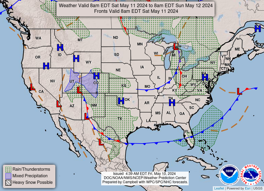
.DAY ONE...Today and Tonight
A strong upper level storm system coupled with a surface cold
front will produce showers and thunderstorms tonight. The best
chance for storms to move across Southeast Texas is between 9 PM
and 5 AM. Some of the storms could become strong to severe with
damaging winds and large hail. The storms will end very early
Sunday morning.
.DAYS TWO THROUGH SEVEN...Sunday through Friday
Another storm system will approach the region on Wednesday. Some
of the storms could again be strong to severe with damaging winds
and large hail.
No hazardous weather is expected at this time.
.SPOTTER INFORMATION STATEMENT...
Emergency managers and storm spotters should prepare for possible
activation Saturday night.
$$
TXZ214-235>238-300930-
Brazoria-Chambers-Galveston-Jackson-Matagorda-
427 AM CDT Sat Apr 29 2017
This hazardous weather outlook is for portions of Southeast Texas..
.DAY ONE...Today and Tonight
A long southerly fetch will produce elevated tide levels along the
coast this morning. Tide levels could rise to between 3.4 and 3.8
feet by Saturday morning and coastal flooding will be possible. A
Coastal Flood Advisory is in effect through mid afternoon.
Beachgoers should be prepared for rough seas and strong rip
currents through the weekend. Strong south winds will persist
today and sustained winds of 25 mph are expected. A Wind Advisory
is in effect through the afternoon.
.DAYS TWO THROUGH SEVEN...Sunday through Friday
Another storm system will approach the region on Wednesday. Some
of the storms could again be strong to severe with damaging winds
and large hail.
.SPOTTER INFORMATION STATEMENT...
Spotter activation will not be needed.
$$
GMZ330-335-350-355-370-375-300930-
Coastal waters from Freeport to the Matagorda Ship Channel out
20 NM-Coastal waters from High Island to Freeport out 20 NM-
Galveston Bay-Matagorda Bay-
Waters from Freeport to the Matagorda Ship Channel from 20 to
60 NM-Waters from High Island to Freeport from 20 to 60 NM-
427 AM CDT Sat Apr 29 2017
This hazardous weather outlook is for portions of Southeast Texas..
.DAY ONE...Today and Tonight
Strong southerly winds will persist today decreasing tonight as a
cold front nears the coast. Winds may gust to gale force at times.
An abrupt wind shift to the north is expected in the wake of the
front on Sunday. A line of strong storms will accompany the cold
front very early Sunday morning. A Small Craft Advisory is in
effect for the coastal waters through Sunday afternoon.
.DAYS TWO THROUGH SEVEN...Sunday through Friday
No hazardous weather is expected at this time.
.SPOTTER INFORMATION STATEMENT...
Spotter activation will not be needed.
$$