Page 25 of 39
Re: October 2015 - Heavy Rainfall/Coastal Low/Flash Flood Li
Posted: Sat Oct 24, 2015 9:49 pm
by Rip76
Wow this mess is crusin' east.
Re: October 2015 - Heavy Rainfall/Coastal Low/Flash Flood Li
Posted: Sat Oct 24, 2015 9:50 pm
by davidiowx
That was quite a read. Thanks for posting. I would love to do that some day with the right personnel and information.
Re: October 2015 - Heavy Rainfall/Coastal Low/Flash Flood Li
Posted: Sat Oct 24, 2015 10:04 pm
by Ptarmigan
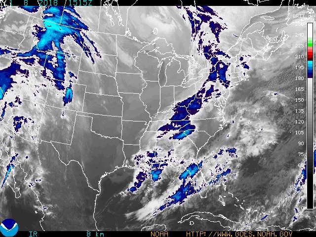
IR Enhancement 4

Here is a Doppler radar image out of Brownsville.

Re: October 2015 - Heavy Rainfall/Coastal Low/Flash Flood Li
Posted: Sat Oct 24, 2015 10:07 pm
by Cromagnum
Meh. This was unimpressive. Got some much needed rain, but way overyhyped.
Re: October 2015 - Heavy Rainfall/Coastal Low/Flash Flood Li
Posted: Sat Oct 24, 2015 10:08 pm
by Rip76
Is that trying to wrap up?
Re: October 2015 - Heavy Rainfall/Coastal Low/Flash Flood Li
Posted: Sat Oct 24, 2015 10:16 pm
by Andrew
Cromagnum wrote:Meh. This was unimpressive. Got some much needed rain, but way overyhyped.
I don't understand that logic when the event isn't even over yet and already most places have received over 4 or 5 inches of rain across SE Texas. Secondly, most of the members on the board have stressed how sharp of a gradient this event could be.
Re: October 2015 - Heavy Rainfall/Coastal Low/Flash Flood Li
Posted: Sat Oct 24, 2015 10:23 pm
by Katdaddy
BULLETIN - EAS ACTIVATION REQUESTED
FLASH FLOOD WARNING
NATIONAL WEATHER SERVICE HOUSTON/GALVESTON TX
1015 PM CDT SAT OCT 24 2015
THE NATIONAL WEATHER SERVICE IN LEAGUE CITY HAS ISSUED A
* FLASH FLOOD WARNING FOR...
CENTRAL BRAZORIA COUNTY IN SOUTHEASTERN TEXAS...
FORT BEND COUNTY IN SOUTHEASTERN TEXAS...
HARRIS COUNTY IN SOUTHEASTERN TEXAS...
SOUTHWESTERN LIBERTY COUNTY IN SOUTHEASTERN TEXAS...
* UNTIL 115 AM CDT
* AT 1013 PM CDT...DOPPLER RADAR INDICATED SHOWERS AND THUNDERSTORMS
PRODUCING MODERATE TO HEAVY RAIN ACROSS THE WARNED AREA. THE FLASH
FLOOD THREAT CONTINUES. 2 TO 5 INCHES OF RAIN HAVE FALLEN ACROSS
THIS AREA WITH AN ADDITIONAL 2 TO 3 INCHES EXPECTED OVER THE NEXT
FEW HOURS.
* SOME LOCATIONS THAT WILL EXPERIENCE FLOODING INCLUDE...
PASADENA...PEARLAND...SUGAR LAND...MISSOURI CITY...DEER PARK...
ROSENBERG...LAKE JACKSON...NORTHWESTERN ANGLETON...STAFFORD...SOUTH
HOUSTON...BELLAIRE...HUMBLE...WEST UNIVERSITY PLACE...KATY...
RICHMOND...GALENA PARK...JACINTO CITY...SOUTHWESTERN LIBERTY...
JERSEY VILLAGE AND DAYTON.
PRECAUTIONARY/PREPAREDNESS ACTIONS...
BE ESPECIALLY CAUTIOUS AT NIGHT WHEN IT IS HARDER TO RECOGNIZE THE
DANGERS OF FLOODING.
TURN AROUND...DONT DROWN WHEN ENCOUNTERING FLOODED ROADS. MOST FLOOD
DEATHS OCCUR IN VEHICLES.
Re: October 2015 - Heavy Rainfall/Coastal Low/Flash Flood Li
Posted: Sat Oct 24, 2015 10:29 pm
by nuby3
on corpus radar you can see a more complete swirl with echoes forming and moving north to south on the western side
http://radar.weather.gov/radar.php?prod ... P&loop=yes
Re: October 2015 - Heavy Rainfall/Coastal Low/Flash Flood Li
Posted: Sat Oct 24, 2015 10:33 pm
by Ptarmigan
Andrew wrote:Cromagnum wrote:Meh. This was unimpressive. Got some much needed rain, but way overyhyped.
I don't understand that logic when the event isn't even over yet and already most places have received over 4 or 5 inches of rain across SE Texas. Secondly, most of the members on the board have stressed how sharp of a gradient this event could be.
It is not over until it is over.
Re: October 2015 - Heavy Rainfall/Coastal Low/Flash Flood Li
Posted: Sat Oct 24, 2015 10:33 pm
by Andrew
Lake Jackson region could be the region most under the gun right now. Progression of the mid/lower level low seems to be slowing down and banding features are spreading northward.
Re: October 2015 - Heavy Rainfall/Coastal Low/Flash Flood Li
Posted: Sat Oct 24, 2015 10:35 pm
by ticka1
who is staying up tonight and monitoring this situation for the night?
Re: October 2015 - Heavy Rainfall/Coastal Low/Flash Flood Li
Posted: Sat Oct 24, 2015 10:37 pm
by nuby3
ticka1 wrote:who is staying up tonight and monitoring this situation for the night?
me. I don't think this is over
Re: October 2015 - Heavy Rainfall/Coastal Low/Flash Flood Li
Posted: Sat Oct 24, 2015 10:38 pm
by Andrew
ticka1 wrote:who is staying up tonight and monitoring this situation for the night?
I will probably be up for the next several hours. I see things quieting down sometime after 2 or 3am.
Re: October 2015 - Heavy Rainfall/Coastal Low/Flash Flood Li
Posted: Sat Oct 24, 2015 10:38 pm
by unome
Wundermap radar view in gulf
http://wxug.us/1rl2f
incorporates Mexico radar as well, bigger picture
Re: October 2015 - Heavy Rainfall/Coastal Low/Flash Flood Li
Posted: Sat Oct 24, 2015 10:40 pm
by Andrew
seeing some 5+ inches across Harris County
Re: October 2015 - Heavy Rainfall/Coastal Low/Flash Flood Li
Posted: Sat Oct 24, 2015 10:43 pm
by nuby3
http://radar.weather.gov/radar.php?prod ... P&loop=yes
naked swirl east of corpus, pointing out again, the north to south showers west of it. backbuilding into Victoria. interestante
Re: October 2015 - Heavy Rainfall/Coastal Low/Flash Flood Li
Posted: Sat Oct 24, 2015 10:48 pm
by Rip76
Me for sure.
Re: October 2015 - Heavy Rainfall/Coastal Low/Flash Flood Li
Posted: Sat Oct 24, 2015 10:50 pm
by ticka1
me too....
Re: October 2015 - Heavy Rainfall/Coastal Low/Flash Flood Li
Posted: Sat Oct 24, 2015 10:54 pm
by DoctorMu
Holy mackerel. What a story of ingenuity, power, terror, survival. Glad all in that tight space are OK.
Re: October 2015 - Heavy Rainfall/Coastal Low/Flash Flood Li
Posted: Sat Oct 24, 2015 10:58 pm
by Andrew
More and more I examine radar, more you can clearly see multiple areas of rotation across the region. Two to three areas of rotation across the gulf and then I notice one just southwest of needville.
