Page 22 of 26
Re: Tracking the Tropics:
Posted: Thu Sep 15, 2016 10:02 pm
by SKIDOG45
sleep on 1900
Re: Tracking the Tropics:
Posted: Thu Sep 15, 2016 10:06 pm
by Texaspirate11
TROPICAL STORM #KARL FORMS OVER THE FAR EASTERN TROPICAL ATLANTIC...
11:00 PM AST Thu Sep 15
Location: 17.9°N 32.5°W
Moving: W at 14 mph
Min pressure: 1005 mb
Max sustained: 45 mph
Re: Tracking the Tropics:
Posted: Fri Sep 16, 2016 12:12 am
by DoctorMu
A handful of models has Julia crossing Florida into the Gulf. That would certainly be a highly unusual event in an unusual tropical season off the east coast.

Re: Tracking the Tropics:
Posted: Fri Sep 16, 2016 12:40 am
by worrybug
DoctorMu wrote:A handful of models has Julia crossing Florida into the Gulf. That would certainly be a highly unusual event in an unusual tropical season off the east coast.

What a mess. I do hope it doesn't cross Florida into the Gulf. That'd be bad news for LA, I'm sure.
Re: Tracking the Tropics:
Posted: Fri Sep 16, 2016 12:45 am
by Skyguy

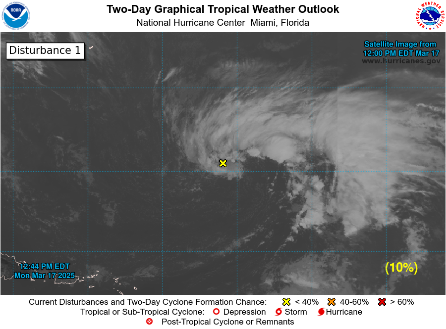
1. Shower and thunderstorm activity has
diminished in association with
an elongated area of low pressure located over the northwestern Gulf
of Mexico. Development of this system, if any, should be slow to
occur before it moves inland over Texas by Saturday.
* Formation chance through 48 hours...low...10 percent
* Formation chance through 5 days...low...10 percent
Interesting. Might not get as much rain as we were hoping for, I'm afraid.
Re: Tracking the Tropics:
Posted: Fri Sep 16, 2016 1:43 pm
by Rip76
Convection firing up.
Re: Tracking the Tropics:
Posted: Fri Sep 16, 2016 1:54 pm
by srainhoutx
Looks like a rather vigorous shot of dry air is advancing SE across Texas behind a shortwave trough moving across the Southern Plains. My hunch is a majority of any weather will be across Southern Louisiana.

Re: Tracking the Tropics:
Posted: Fri Sep 16, 2016 7:59 pm
by Ptarmigan
DoctorMu wrote:A handful of models has Julia crossing Florida into the Gulf. That would certainly be a highly unusual event in an unusual tropical season off the east coast.

Not unusual for a storm off the East Coast and hit Florida than enter the Gulf of Mexico. It is very rare.
Hurricane #2 1940
http://weather.unisys.com/hurricane/atl ... /track.dat
Hurricane #3 1934
http://weather.unisys.com/hurricane/atl ... /track.dat
Re: Tracking the Tropics:
Posted: Tue Sep 20, 2016 3:14 pm
by davidiowx
Anyone notice that vort in the Northern Central Gulf?
Re: Tracking the Tropics:
Posted: Thu Sep 22, 2016 10:45 am
by redneckweather
GFS showing a classic early fall tropical set up with a low pressure system spinning up off the tail end of a front down in the BOC and pushing up the Texas coast next week. I can't post images from my pc so hopefully somewhat else will shortly.
Re: Tracking the Tropics:
Posted: Sat Sep 24, 2016 5:47 am
by srainhoutx
The overnight global and ensemble guidance suggests a developing tropical disturbance in the Eastern Atlantic Ocean will move quickly West throughout the coming work week and enter the Caribbean Sea next weekend where conditions are expected to become increasingly favorable for Tropical development, particularly in in Central and Western Caribbean Sea.
Atmospheric conditions such as climatology, a very robust MJO pulse and a Convectively Coupled Kelvin Wave are working in favor of this potential tropical troublemaker at the end of September/first of October. While it is certainly too soon to know exactly where the system may go, interests from Central America to Bermuda will need to monitor developments, particularly next weekend as the reliable computer models agree that there is a possibility of a powerful Hurricane lurking the Caribbean Sea moving generally W to WNW reminding us that Hurricane Season is not over for the Western Atlantic Basin.
The attachment avn-l (4).jpg is no longer available
TROPICAL WEATHER OUTLOOK
NWS NATIONAL HURRICANE CENTER MIAMI FL
800 AM EDT SAT SEP 24 2016
For the North Atlantic...Caribbean Sea and the Gulf of Mexico:
The National Hurricane Center is issuing advisories on Tropical
Storm Karl, located east of Bermuda, and on Tropical Depression
Lisa, located over the eastern tropical Atlantic.
1. A tropical wave, accompanied by a broad area of low pressure, is
located south of the Cabo Verde Islands. This disturbance is
expected to move rapidly westward across the tropical Atlantic
Ocean at 20 to 25 mph for the next several days. Environmental
conditions are expected to become conducive for gradual development,
and a tropical depression could form while the system approaches the
Lesser Antilles and moves into the Caribbean Sea by the middle of
next week.
* Formation chance through 48 hours...low...10 percent
* Formation chance through 5 days...medium...50 percent
Forecaster Brennan
Re: Tracking the Tropics:
Posted: Sat Sep 24, 2016 8:38 am
by srainhoutx
Levi Cowan @TropicalTidbits · 1h1 hour ago
(*not* a forecast) There is historical precedent for TCs entering Caribbean at low latitude & becoming major hurricanes during 9/20-10/10:
Re: Tracking the Tropics:
Posted: Sat Sep 24, 2016 8:48 am
by redneckweather
This one is going to get LOTS of attention and rightfully so. Looks like all global models are bombing this out once in the central/western Caribbean. Where it goes after that is all guess work. Hopefully a front will guide this thing East of us. Climatology strongly suggest that but sometimes mother nature doesn't play by the rules.
Re: Tracking the Tropics:
Posted: Sat Sep 24, 2016 8:59 am
by wxman57
Good chance it will develop, but steering currents once it gets to the central Caribbean are not well-defined. It would be VERY hard for a storm to reach Texas in October, though not impossible. If it does become a hurricane then I'd look for a Florida impact as a fair possibility. Of course, I have a Florida vacation scheduled for the 10th-14th (Disney). It better not go there!
Re: Tracking the Tropics:
Posted: Sat Sep 24, 2016 10:10 am
by redneckweather
Wxman, I can see why you would say Florida because of the calendar but I also see that the NWS seems to be calling for normal to above normal temps for us here along the Texas coast through at least mid October. That tells me that we really won't have any decent fronts during that time period. Anyways, just a little something to throw into the discussion.
Re: Tracking the Tropics:
Posted: Sat Sep 24, 2016 11:53 am
by srainhoutx
Re: Tracking the Tropics:
Posted: Sat Sep 24, 2016 12:28 pm
by TexasBreeze
It showed Florida the previous 2 runs and now Mexico today. I liked the 6z run with 40's for lows here instead!

(+300 hrs away).
Re: Tracking the Tropics:
Posted: Sat Sep 24, 2016 1:32 pm
by cperk
wxman57 wrote:Good chance it will develop, but steering currents once it gets to the central Caribbean are not well-defined. It would be VERY hard for a storm to reach Texas in October, though not impossible. If it does become a hurricane then I'd look for a Florida impact as a fair possibility. Of course, I have a Florida vacation scheduled for the 10th-14th (Disney). It better not go there!
Ok make up your mind is it going to Florida or is it going somewhere else because you're going to Florida,and if not where will it end up.

Re: Tracking the Tropics:
Posted: Sat Sep 24, 2016 1:44 pm
by srainhoutx
Worrisome to see the Global models coming into agreement. The 12Z ECMWF suggests a strong tropical cyclone eerily similar to what the GFS solution suggested.
Re: Tracking the Tropics:
Posted: Sat Sep 24, 2016 2:03 pm
by redneckweather
The Euro stays on board with a powerful cane in the Caribbean. After briefly looking over another weather board....bow howdy, them Floridians WANT a major cane in a BAD way! lol They can have this one.


