I checked the ARL website and they have the new GFS. Data is high-res and every 3 hrs out to 240 hours now. Here's a 10-day meteogram for Houston. Warming up next week.
Just because you're disabled, you don't have to be a victim
Be Weather Aware & Prepared! Barbara Jordan Winner in Media
Disability Integration Consultant
After days of cloudy and cold conditions…skies will begin to clear late this afternoon.
A near solid week of cloudy conditions and highs below 50 degrees will come to an end today. Shortwave moving across the area this morning is generating another round of light rain and drizzle with surface temperatures in the upper 30’s to low 40’s. Expect the rainfall to come to an end by mid morning with drier air advecting southward by early afternoon. Clearing line will advance on the region from the north and reach the coast by early evening. Active sub-tropical jet stream will remain overhead and while low and mid level decks will clear out a stream of high level cirrus clouds may continue across the region for the next few days.
Will see a gradual warming trend with highs likely breaking 50 today and 60 by Saturday as more sun allows greater daily warmth. A weak cold front will cross the area late Saturday night and early Sunday morning, but the effect on temperatures will be minor. Greater warming trend will onset early next week with sustained southerly flow allowing highs to push near 70 by Tuesday and lows in the 50’s. No significant rain chances are expected through the weekend into early next week.
Next storm system looks to approach the area toward the end of next week with the potential onset of another extended period of cold, cloudy, and wet conditions.
Carla/Alicia/Jerry(In The Eye)/Michelle/Charley/Ivan/Dennis/Katrina/Rita/Wilma/Humberto/Ike/Harvey
Member: National Weather Association
Facebook.com/Weather Infinity
Twitter @WeatherInfinity
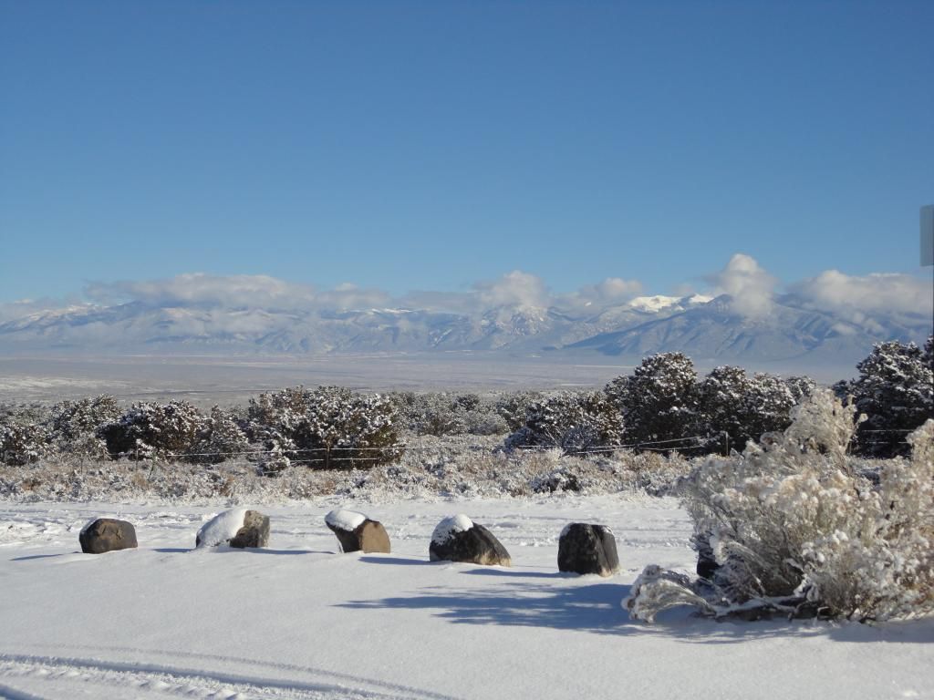
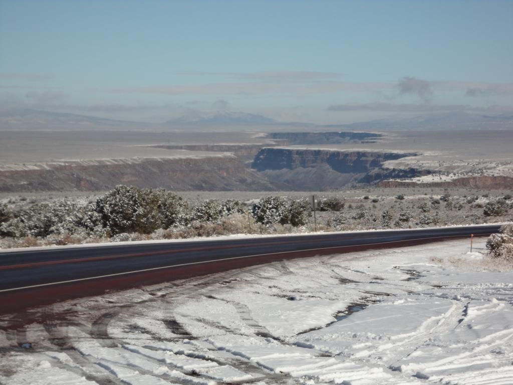
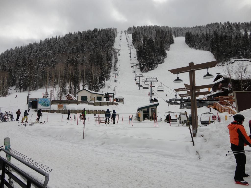
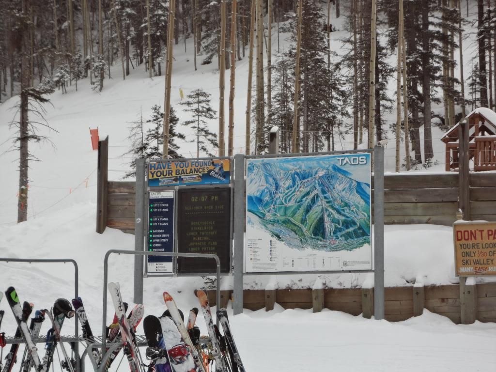
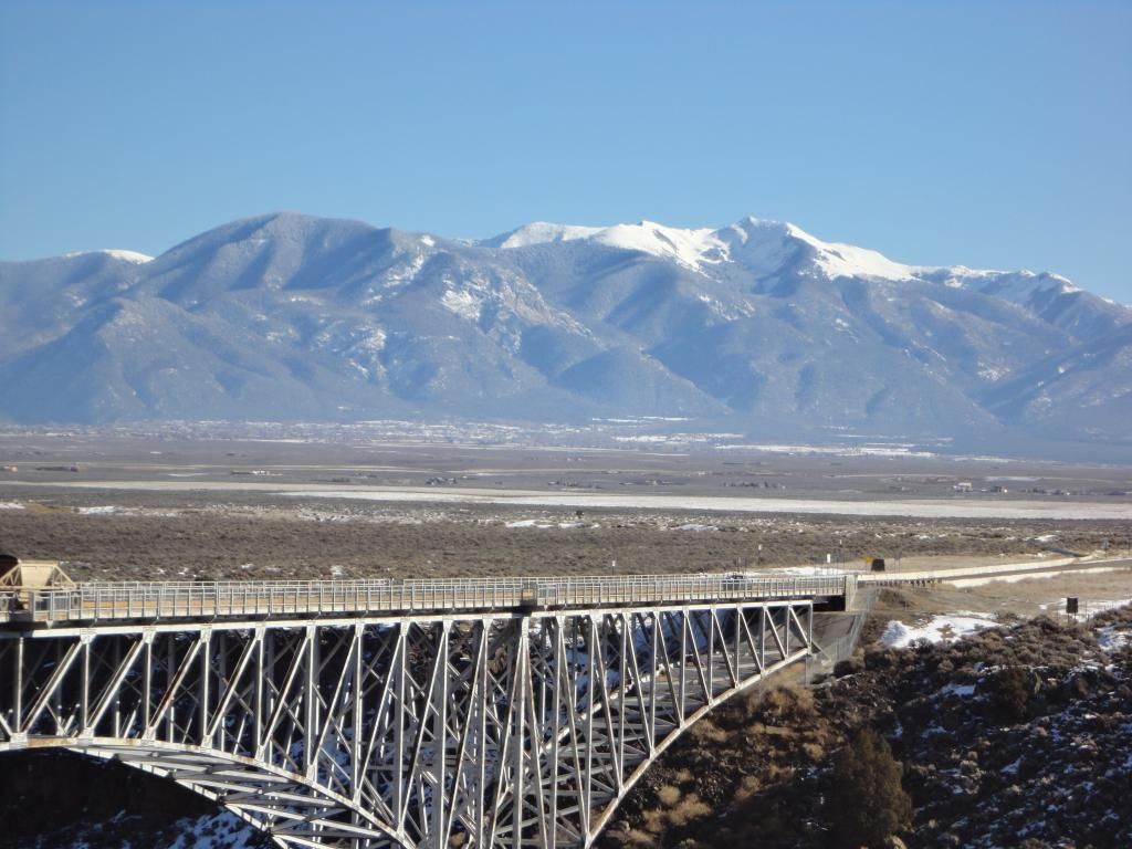
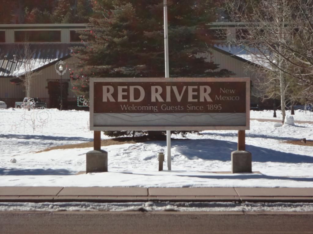
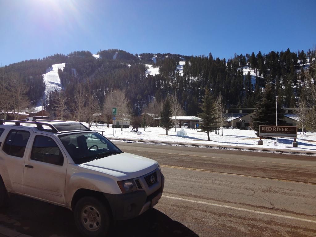
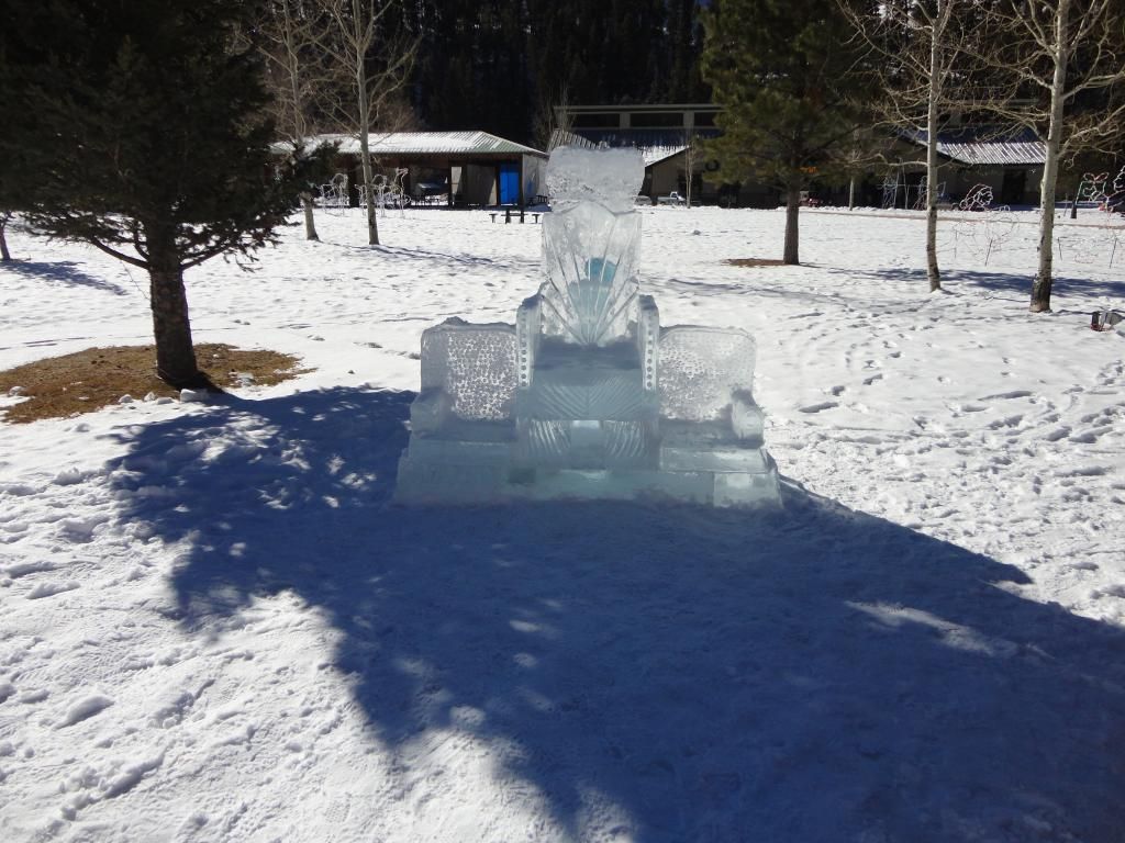
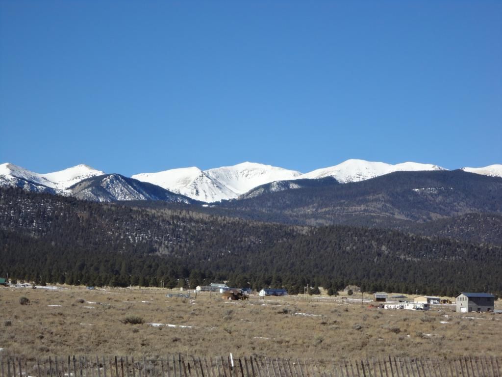
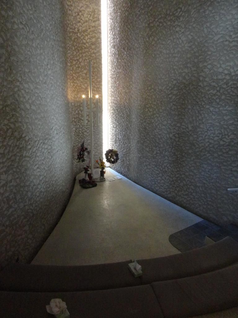
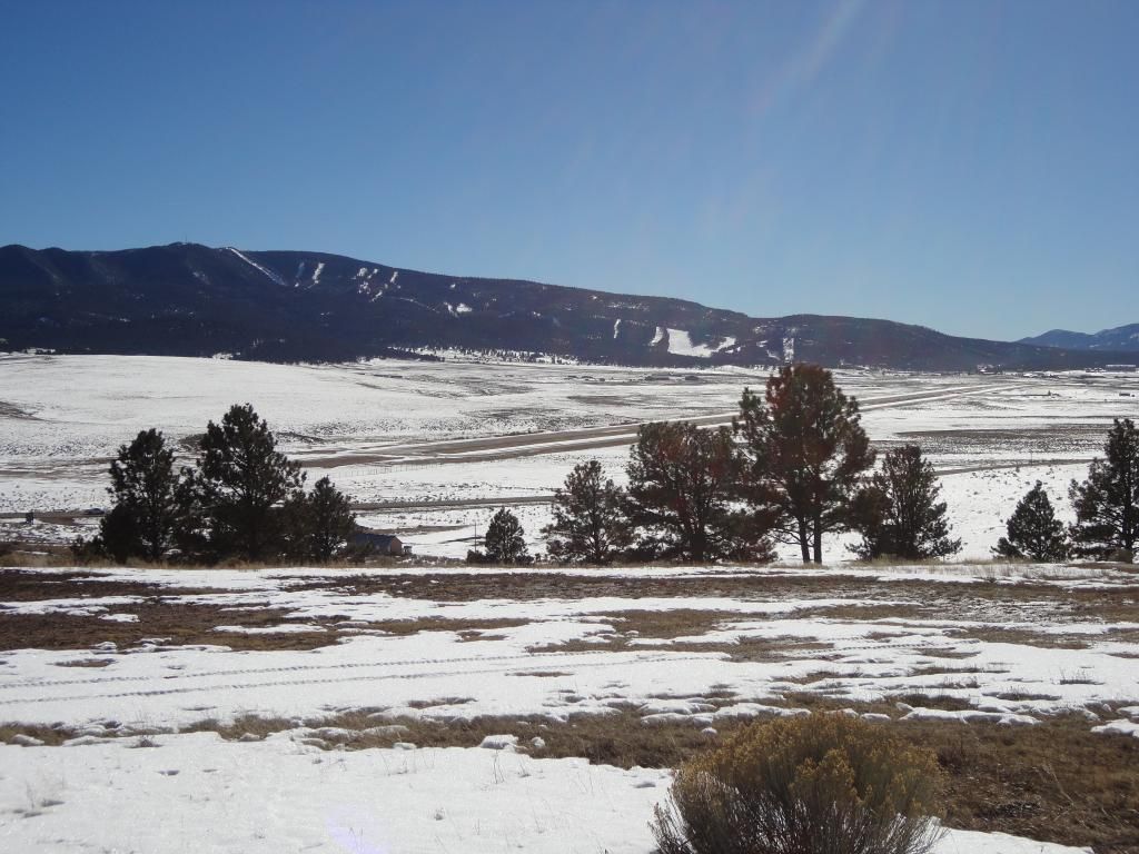
Good evening from Taos Ski Valley. It was a warm 10F here this morning, but 'warmed' to 35F this afternoon at 9500 feet. I had an awesome day of sightseeing and drove the ‘Enchanted Circle’. My 90 mile road trip began in Taos Ski Valley with the first stop being the Rio Grande Gorge Bridge. The skies were perfectly clear offering a fantastic view of Wheeler Peak and Kachina Peak off to the East. Next I drove North on NM 522 to Questa and turned East on NM 38 to Red River. The base of the Red River Ski area is almost into the center of the town of Red River. I continued East on NM 38 to Eagles Nest before heading South on US 64. It was a beautiful day to see Wheeler and Kachina Peaks from the other side of the Sangre de Christo Mountains. I made a stop at the Vietnam War Memorial just outside of Angle Fire. It was a simple, but moving Memorial. Next I ventured to angle Fire. It had been over 30 years since I last visited the area and my, had it changed. I skied Angle Fire first back in the late 70’s when I was a young man and returned in the early 80’s. Needless to say the Resort had expanded and grown since the last visit I made. The drive back to Taos on US 64 was just as I had remembered. This winding…curving two lane road with hairpin turns along the way. It was a great day circling Carson National Forest which Ski Taos, Ski Red River and Ski Angle Fire are in close proximity of. Carson National Forest was established with a merger of Taos National Forest and Jemez National Forest in 1908.
Carla/Alicia/Jerry(In The Eye)/Michelle/Charley/Ivan/Dennis/Katrina/Rita/Wilma/Humberto/Ike/Harvey
Member: National Weather Association
Facebook.com/Weather Infinity
Twitter @WeatherInfinity
Finally a mostly sunny SE TX Friday and weekend with highs from near 60 to the mid 60s along with high cirrus clouds that will make for some beautiful skies. Enjoy!
srainhoutx wrote:Good evening from Taos Ski Valley. It was a warm 10F here this morning, but 'warmed' to 35F this afternoon at 9500 feet. I had an awesome day of sightseeing and drove the ‘Enchanted Circle’. My 90 mile road trip began in Taos Ski Valley with the first stop being the Rio Grande Gorge Bridge. The skies were perfectly clear offering a fantastic view of Wheeler Peak and Kachina Peak off to the East. Next I drove North on NM 522 to Questa and turned East on NM 38 to Red River. The base of the Red River Ski area is almost into the center of the town of Red River. I continued East on NM 38 to Eagles Nest before heading South on US 64. It was a beautiful day to see Wheeler and Kachina Peaks from the other side of the Sangre de Christo Mountains. I made a stop at the Vietnam War Memorial just outside of Angle Fire. It was a simple, but moving Memorial. Next I ventured to angle Fire. It had been over 30 years since I last visited the area and my, had it changed. I skied Angle Fire first back in the late 70’s when I was a young man and returned in the early 80’s. Needless to say the Resort had expanded and grown since the last visit I made. The drive back to Taos on US 64 was just as I had remembered. This winding…curving two lane road with hairpin turns along the way. It was a great day circling Carson National Forest which Ski Taos, Ski Red River and Ski Angle Fire are in close proximity of. Carson National Forest was established with a merger of Taos National Forest and Jemez National Forest in 1908.
1 more not-so-cold day after today then back to winter. 6Z GFS forecasts over 2" of rain on Thursday with temps falling into the low-mid 40s during the day.
Mild, dry, and sunny conditions since last Friday will continue through tomorrow.
Zonal flow aloft has resulted in a warming and drying trends compared to the last few weeks of clouds, cold and rain. Winds have returned from the south today and this is resulting in a steady but gradual moistening trend of the low level air mass. Increasing moisture and clear skies along with calm winds tonight should promote areas of dense fog on Tuesday morning. Tuesday will be warmer than today with southerly flow continuing and compressional heating south of an incoming frontal boundary expected to arrive late Tuesday night into Wednesday morning. Highs will reach the lower to mid 70’s. Enjoy as this will be quickly ended on Wednesday.
Front will cross the area early Wednesday with temperatures cooler on Wednesday with cold air advection and increasing cloud cover. Short wave trough over the SW US will deepen and slow its eastward progression resulting in a period of strong overrunning moisture above the surface cold dome late Wednesday through early Friday with Thursday being the target day for widespread rainfall. Lift and moisture really ramp up Wednesday evening and expect light rain to develop SW to NE across the area after sunset and become increasingly widespread and heavier during the day on Thursday. PWS rise to 1.2-1.4 inches which is respectable for middle January so think a good soaking rainfall is likely for much of the area and much of the state for that matter. It will be cold both Thursday and Friday with temperatures holding in the 40’s through much of the period for both lows and highs.
Will go with widespread amounts of 1-2 inches and favor the SW half of the region for the higher amounts. A few locations could see locally higher amounts (greater than 2.0 inches) where any heavier rains train on Thursday. General thinking is that this will be mainly stratiform rainfall with a few embedded convective cells and this should keep rainfall rates on the lower side (possibly up to .25-.50 of an inch an hour under the heaviest cells). May need to bump rainfall totals up a little more over the next 48 hours given statured profiles being shown and potential for a slower moving system lingering rainfall into Friday.
Storm system should move eastward by late Friday with clearing and mild conditions expected for next weekend (similar to this weekend, but maybe a touch colder).
Carla/Alicia/Jerry(In The Eye)/Michelle/Charley/Ivan/Dennis/Katrina/Rita/Wilma/Humberto/Ike/Harvey
Member: National Weather Association
Facebook.com/Weather Infinity
Twitter @WeatherInfinity
A Dense Fog Advisory is in effect for most of SE TX this morning. Another beautiful sunny Spring-like day across SE TX before temps begin to cool Wednesday with increasing rain chance beginning Wednesday evening. A coastal trough will develop along the Middle TX Coast Thursday leading to widespread 1-2" rains with isolated totals of 3" or more leading to some minor flooding of low lying and poor draining areas. It will feel more like Winter Thursday and Friday with highs in the low 50s and lows in the low 40s and upper 30s under cloudy wet skies. 60s and sun returns for the weekend.