
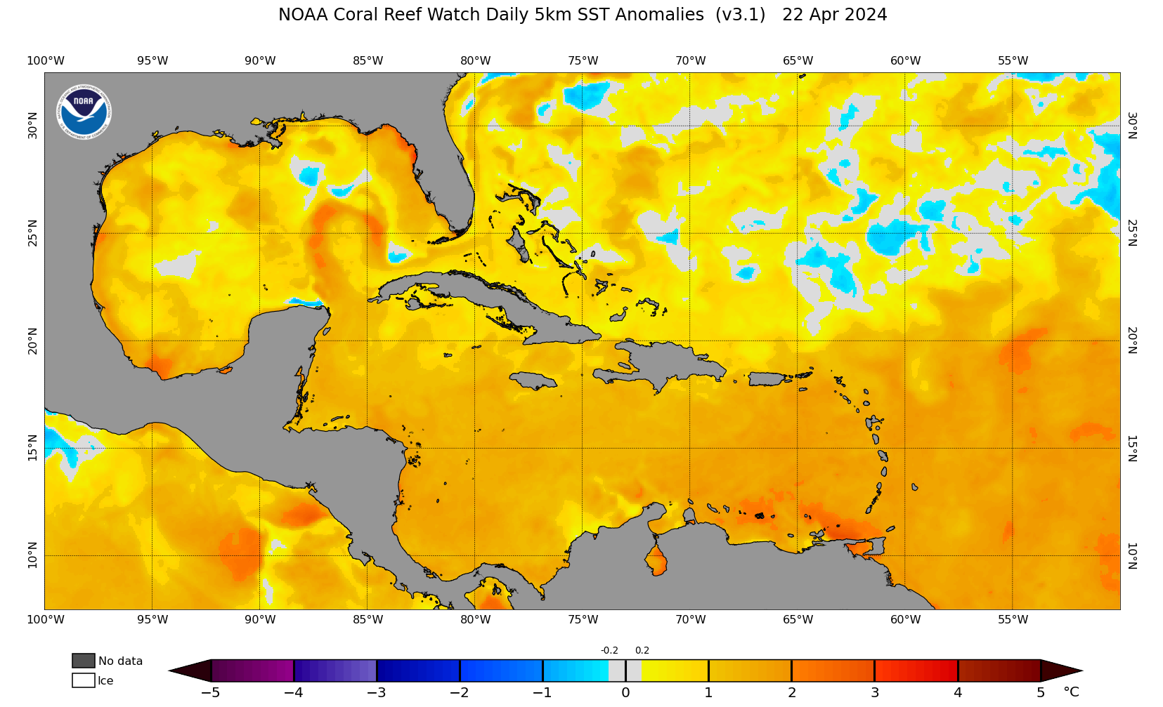
The SST Anomaly map has been updated to 5km resolution. It had been 50km so that's quite an improvement in resolution:
https://coralreefwatch.noaa.gov/data_cu ... urrent.png
June 2021:
-
jasons2k

- Posts: 6193
- Joined: Thu Feb 04, 2010 12:54 pm
- Location: Imperial Oaks
- Contact:
-
jasons2k
- Posts: 6193
- Joined: Thu Feb 04, 2010 12:54 pm
- Location: Imperial Oaks
- Contact:
Down to 20% now.
WxMan57 isn't impressed, either. Have to be very wary of modelcanes when the timing gets pushed-out...
Maybe something next week in the BoC though, wait and see at this point....
WxMan57 isn't impressed, either. Have to be very wary of modelcanes when the timing gets pushed-out...
Maybe something next week in the BoC though, wait and see at this point....
Tropical Weather Outlook
NWS National Hurricane Center Miami FL
200 PM EDT Tue Jun 8 2021
For the North Atlantic...Caribbean Sea and the Gulf of Mexico:
A broad trough of low pressure is expected to develop over the
southwestern Caribbean Sea during the next couple of days. Some
gradual development will be possible thereafter while the system
moves slowly northwestward toward Central America. Regardless of
development, this system could produce heavy rainfall across
northern Colombia and portions of Central America from Honduras
southward later this week and into the weekend. See products from
your local meteorological service for more information.
* Formation chance through 48 hours...low...near 0 percent.
* Formation chance through 5 days...low...20 percent.
$$
Forecaster Reinhart/Pasch
-
Stratton20
- Posts: 5818
- Joined: Tue Feb 09, 2021 11:35 pm
- Location: College Station, Texas
- Contact:
Jasons2k nope that 20% basically is just for the area that its in, that chance is going to increase when it gets into the gulf, alot of support from the models, that bumber will be going up in the coming days
-
Dls2010r
- Posts: 185
- Joined: Sat Dec 01, 2018 6:21 am
- Contact:
I appreciate you Stratton
-
Stratton20
- Posts: 5818
- Joined: Tue Feb 09, 2021 11:35 pm
- Location: College Station, Texas
- Contact:
Ofc Dls, im no weather expert though, this is going to be a challenging forecast ahead of us
-
Dls2010r
- Posts: 185
- Joined: Sat Dec 01, 2018 6:21 am
- Contact:
I am 45 yrs old. I am from Kansas City. Snow storms and tornados fascinated me as a teenager. I am no expert either and don’t post much. I just appreciate you because you speak your mind and don’t always care what people think even when your wrong. That’s how we learn.
-
Stratton20
- Posts: 5818
- Joined: Tue Feb 09, 2021 11:35 pm
- Location: College Station, Texas
- Contact:
Yeah I definitely have been wrong on here a few times haha but thats the great thing about this discussion board, we all can apeak our minds about weather, hopefully nothing too bad happens in the gulf by sunday, but I never trust the gulf, very challenging forecast ahead but I am concerned about the trends I have seen in the models, pretty much every model, the Icon, CMC, EURO and GFS are agreeing at least in terms of this being a western gulf threat
-
Dls2010r
- Posts: 185
- Joined: Sat Dec 01, 2018 6:21 am
- Contact:
I remember being at Disney world and I was ordering a frozen drink. Bartender said be glad your leaving Ike is coming. I get home 3 days later married to a Galveston fireman and all hell broke lose. I’ll never forget when he wrote his social security on his forearm and kissed me good by
-
Stratton20
- Posts: 5818
- Joined: Tue Feb 09, 2021 11:35 pm
- Location: College Station, Texas
- Contact:
I remember IKE, I also remember waking up to find someone’s trampoline in our backyard with the entire fence just gone
-
Dls2010r
- Posts: 185
- Joined: Sat Dec 01, 2018 6:21 am
- Contact:
Harvey and Irma(by accident were interesting too)
-
jasons2k
- Posts: 6193
- Joined: Thu Feb 04, 2010 12:54 pm
- Location: Imperial Oaks
- Contact:
This is gonna be a loooooong season...anyway....
In other news, I had a high of 96 degrees today. The first real "hot" day of the summer.
In other news, I had a high of 96 degrees today. The first real "hot" day of the summer.
-
Dls2010r
- Posts: 185
- Joined: Sat Dec 01, 2018 6:21 am
- Contact:
Jason they need to get your pool done and you’ll be in way better spirits.

-
jasons2k
- Posts: 6193
- Joined: Thu Feb 04, 2010 12:54 pm
- Location: Imperial Oaks
- Contact:
Haha it’s all good. Just trying to keep it real. My mission is to relay accurate and factual information - it’s just what I do and why I help to keep the lights on over at S2K. I see so much misinformation on forums and on Twitter and when it comes to the weather it impacts people’s lives….and a wrong decision could actually cost you your life. As the old saying goes “it’s all fun and games until someone gets hurt!”
-
Stratton20
- Posts: 5818
- Joined: Tue Feb 09, 2021 11:35 pm
- Location: College Station, Texas
- Contact:
18z GFS run gets the disturbance into the gulf by this Monday or Tuesday. Then develops it into a strong tropical storm or low end hurricane. Just in a watch and see mode right now
-
Cpv17
- Posts: 7091
- Joined: Fri Aug 31, 2018 1:58 pm
- Location: El Campo/Wharton
- Contact:
jasons2k wrote: ↑Tue Jun 08, 2021 5:59 pmHaha it’s all good. Just trying to keep it real. My mission is to relay accurate and factual information - it’s just what I do and why I help to keep the lights on over at S2K. I see so much misinformation on forums and on Twitter and when it comes to the weather it impacts people’s lives….and a wrong decision could actually cost you your life. As the old saying goes “it’s all fun and games until someone gets hurt!”
Jason, I’m not even sure that the area the NHC has circled right now is the area to watch. I’m thinking the area to watch will come from the EPAC and cross over into the BOC. I’m not really sure about what the NHC has circled. Not sure what they see there.
-
don

- Posts: 3148
- Joined: Wed Feb 03, 2010 3:33 pm
- Location: Wichita Falls
- Contact:
It seems the NHC circled the gyre too early, and as the gyre moves slowly to the northwest that's when models show genesis occurring in the BOC.If the models are correct we should start to see a tropical disturbance forming in the BOC by the end of the weekend.
-
Stratton20
- Posts: 5818
- Joined: Tue Feb 09, 2021 11:35 pm
- Location: College Station, Texas
- Contact:
So this dude that im arguing with on twitter is convinced that this system is going to become a powerful major hurricane and hit Texas straight on, I even showed him all of the models and none of which are showing that, but he said all the models are wrong some people just love to believe their own fear mongering, it aint happening,
 some people just love to believe their own fear mongering, it aint happening,
-
Cpv17
- Posts: 7091
- Joined: Fri Aug 31, 2018 1:58 pm
- Location: El Campo/Wharton
- Contact:
I agree. I wouldn’t have circled it till tomorrow at the earliest.
-
jasons2k
- Posts: 6193
- Joined: Thu Feb 04, 2010 12:54 pm
- Location: Imperial Oaks
- Contact:
8PM update
Tropical Weather Outlook
NWS National Hurricane Center Miami FL
800 PM EDT Tue Jun 8 2021
For the North Atlantic...Caribbean Sea and the Gulf of Mexico:
1. A broad trough of low pressure is expected to develop over the
southwestern Caribbean Sea during the next couple of days. Some
gradual development will be possible thereafter while the system
moves slowly northwestward toward Central America. Regardless of
development, this system could produce heavy rainfall across
northern Colombia and portions of Central America from Honduras
southward later this week and into the weekend. See products from
your local meteorological service for more information.
* Formation chance through 48 hours...low...near 0 percent.
* Formation chance through 5 days...low...20 percent.
Forecaster Papin/Stewart
-
Stratton20
- Posts: 5818
- Joined: Tue Feb 09, 2021 11:35 pm
- Location: College Station, Texas
- Contact:
00z GFS run starts developing system by next tuesday or so, then has system making landfall and stalls the system for about 2 days, I know thats far out but thgs at least a little concerning seeing a stall potential in this model run