12Z ECMWF...
http://www.meteo.psu.edu/~gadomski/ECMW ... floop.html
12Z UKMET...
http://www.meteo.psu.edu/~gadomski/UKHE ... kloop.html


Couldn't agree more. One can't help but feel a little let down after this winters events, if you live in southeast Texas. We get a nice little snow miracle on Dec 4th with the promise of more miracles throughout the winter, reminiscent of the winter of 73-74. We get nothing but pipe busting cold and endless days of cloudy and unseasonably cold weather, but no snow. I guess one could argue the little sleet pellets we got when temperatures were in the low 40's a week or so ago was (a winter weather event) but I won't.snowman65 wrote: It won't be us..maybe Dallas area again.
This is the exact time-frame the GFS started showing show for Houston for the December 5th event.Mr. T wrote:That's snow for Houston on the 18z GFS run. No doubt about it... Just taking it verbatim
Euro ftw
That is right!HannahMontana wrote: This is the exact time-frame the GFS started showing show for Houston for the December 5th event.
A model's surface temperature forecast with precipitaion falling through a freezing layer is pretty useless 6 days out, but thanks anyway.Ed Mahmoud wrote:Hate to be the , you know, in the punchbowl, using the magic AccuWx PPV, a total of 0.12 inches liquid falls after 850 mb reaches freezing, which sounds happy, but all of that occurs with 2 meter temps predicted between about 6ºC and 3ºC, so rain or a rain/snow mix, and no accumulation.
Mr. T wrote:A model's surface temperature forecast with precipitaion falling through a freezing layer is pretty useless 6 days out, but thanks anyway.Ed Mahmoud wrote:Hate to be the , you know, in the punchbowl, using the magic AccuWx PPV, a total of 0.12 inches liquid falls after 850 mb reaches freezing, which sounds happy, but all of that occurs with 2 meter temps predicted between about 6ºC and 3ºC, so rain or a rain/snow mix, and no accumulation.
I don't care what that shows until we are within' 2 days. This isn't the time to look at exact details like that. The point being, there is a threat of more wintry precip in Houston this month next week. We can iron out the details as we get closer.


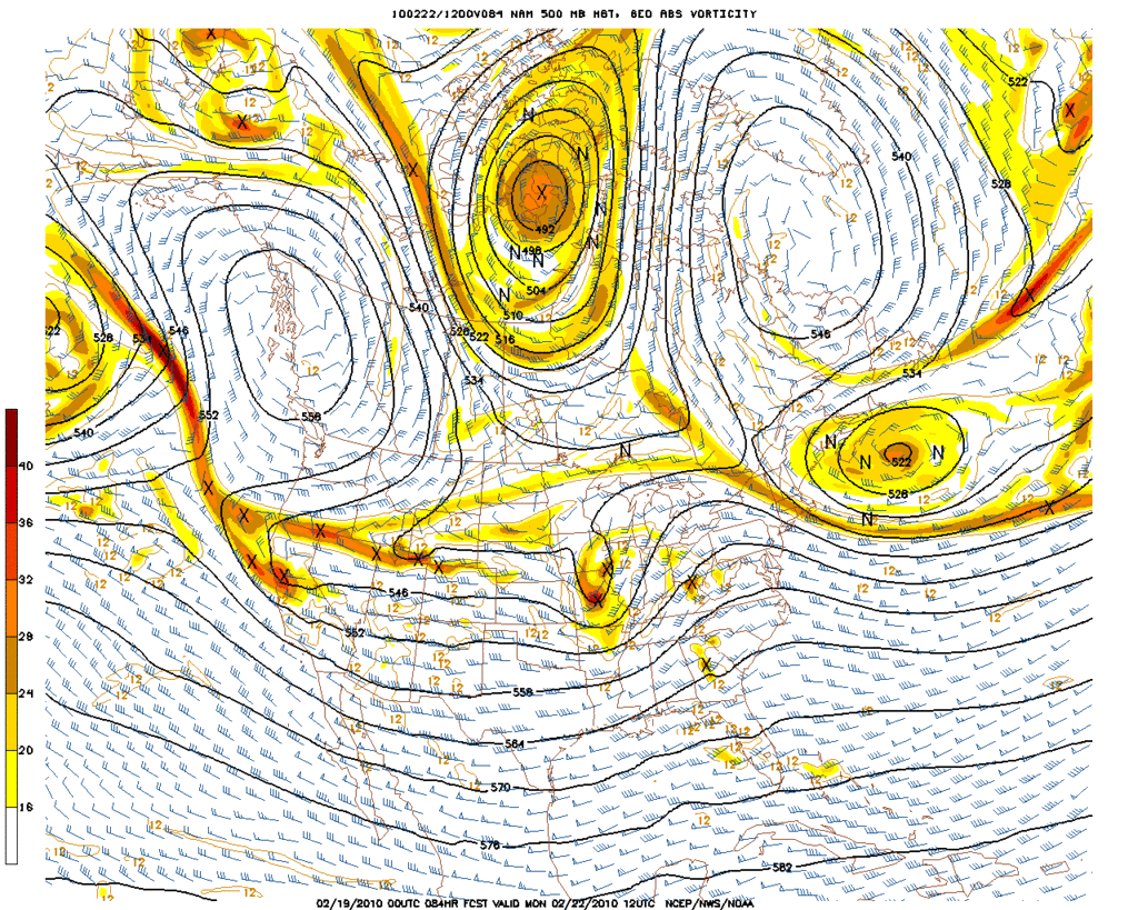
18z GFS supports snow at IAH... As does the 12z Euro, but I don't have any QPF maps for that model.wxman57 wrote:Too early to be sure, but not too early to say that the cards seem stacked against a frozen precip event here next week. There is no model support for anything but rain for now. It looks like the air overhead just won't get cold enough.

Gene Norman wrote:Looks like another cold surge arrives the week of Feb 22 and today's 18Z shows sub-tropical moisture arriving at the same time. Model paints snow in Central Texas and possibly into Houston Tuesday into Wednesday morning. Yesterday, the timing was more toward Wed/Thu. There is a consistent signal and based on how "on" this model has been with the last two cold/snow episodes, I wouldn't be surprised if this verfies. Anyone else seeing this?