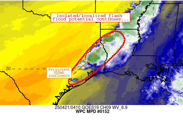
unome wrote:CIMSS TPW loop shows the dry air the SPC spoke of
http://tropic.ssec.wisc.edu/real-time/m ... /main.html
http://tropic.ssec.wisc.edu/real-time/m ... t72hrs.gif
That's a bit of good news.....


unome wrote:CIMSS TPW loop shows the dry air the SPC spoke of
http://tropic.ssec.wisc.edu/real-time/m ... /main.html
http://tropic.ssec.wisc.edu/real-time/m ... t72hrs.gif


I've found the HRRR often way too high with rainfall totals.davidiowx wrote:Steve, just based off of your current atmospheric observations.. Do you see a squall line developing and moving through at a steady pace? Albeit maybe slowly, but moving... Or do you think it could move across our area and potentially slow down or maybe stall, and continue to back build as it sits here?
The HRRR is very concerning but also the outlier. If memory serves me right, I think the HRRR did pretty good (short term) on the Tax day storms. Or am I mistaking? It's been a long week.. :-/
I know it is almost impossible to say, especially since the event is unfolding and model watching is not a good reference point now, but I'm just curious as to what you think; given the winds picking up, the super humid/heavy air and the lift that appears to be available as the night progresses.
houstonia wrote:So, am I correct in thinking it looks like this system is heading toward our area at a slower progress than forecast? Since there's still a lot going on in central Texas?
