
October 2015 - Severe Storms/Moderate Risk Excessive Rainfal
-
DoctorMu

- Posts: 8031
- Joined: Sun Jun 28, 2015 11:58 am
- Location: College Station
- Contact:
Current tally IMBY - College Station is a cumulative 8.45 in for the event. Prior to the trough/front/Patricia axis of storms we had received only 1.65 in. of rain since July 4.
-
ticka1
- Posts: 1265
- Joined: Wed Feb 03, 2010 3:02 pm
- Location: Baytown/Mont Belvieu
- Contact:
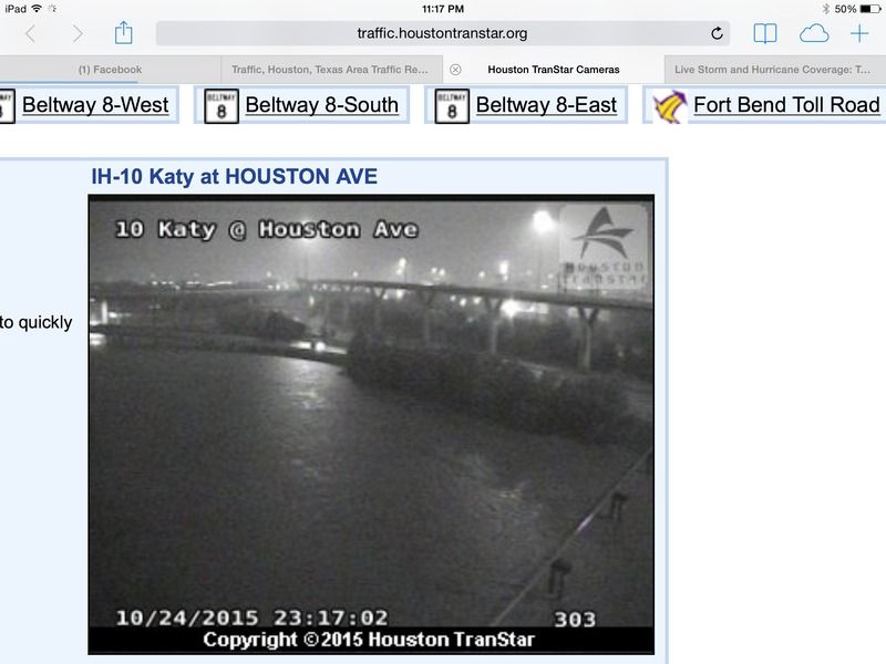
from transtar
-
djmike

- Posts: 1876
- Joined: Fri Jan 07, 2011 12:19 pm
- Location: BEAUMONT, TX
- Contact:
Western edge moving quickly east. Looks like it wants to end within a few hours. Is this supposed to finish this soon or will storms regenerate and we look for another round tomorrow? Just curious cause here in Beaumont we were told late tonight and daybreak and all day tomorrow is the main event for us, but all weve gotten is light rain all day and looks like the western edge to the rains moving out are on the heels of houston already. Just wondering if this is it or we (Beaumont) can expect atleast a moderate rain tomorrow. Thanks in advance.
Mike
Beaumont, TX
(IH-10 & College Street)
Beaumont, TX
(IH-10 & College Street)
-
Andrew
- Site Admin

- Posts: 3508
- Joined: Wed Feb 03, 2010 9:46 pm
- Location: North-West Houston
- Contact:
djmike wrote:Western edge moving quickly east. Looks like it wants to end within a few hours. Is this supposed to finish this soon or will storms regenerate and we look for another round tomorrow? Just curious cause here in Beaumont we were told late tonight and daybreak and all day tomorrow is the main event for us, but all weve gotten is light rain all day and looks like the western edge to the rains moving out are on the heels of houston already. Just wondering if this is it or we (Beaumont) can expect atleast a moderate rain tomorrow. Thanks in advance.
It is moving a little faster than normal. Could see some back-building on the west side of the low but overall tonight will be the big event.
For Your Infinite Source For All Things Weather Visit Our Facebook
-
HouTXmetro
- Posts: 78
- Joined: Thu Feb 11, 2010 10:39 pm
- Location: Houston, TX (Medical Center/Reliant Park)
- Contact:
I see rain developing just east of San Antonio....Is that where the cold front is stationary? If that holds and intensifies, event is far from over.
-
Texashawk
- Posts: 202
- Joined: Wed Feb 02, 2011 1:29 pm
- Location: Sienna, Texas
- Contact:
It seems like rainfall rates around the metro area have really increased in the last hour or so. I hope people are still taking this seriously!
-
nuby3
- Posts: 387
- Joined: Mon Feb 22, 2010 10:25 pm
- Location: THE WOODLANDS PARKWAY and FM 2978
- Contact:
-
Baseballdude2915
- Posts: 192
- Joined: Wed Feb 03, 2010 5:21 pm
- Location: Dickinson, Tx
- Contact:
To the untrained eye, it does look like this moved quicker than expected and we might have dodged the 10"+ totals. What is interesting is what Andrew mentioned a page or two back about the multiple lows on the radar. The one between Corpus/Matagorda looks like it is deepening... Beginning of a wrap around?
-
nuby3
- Posts: 387
- Joined: Mon Feb 22, 2010 10:25 pm
- Location: THE WOODLANDS PARKWAY and FM 2978
- Contact:
Baseballdude2915 wrote:To the untrained eye, it does look like this moved quicker than expected and we might have dodged the 10"+ totals. What is interesting is what Andrew mentioned a page or two back about the multiple lows on the radar. The one between Corpus/Matagorda looks like it is deepening... Beginning of a wrap around?
I've brought that up many times. that's the surface low
http://radar.weather.gov/radar.php?prod ... P&loop=yes
-
ticka1
- Posts: 1265
- Joined: Wed Feb 03, 2010 3:02 pm
- Location: Baytown/Mont Belvieu
- Contact:
according to reports 2 more hours and we can all get some sleep lol
-
Andrew
- Site Admin
- Posts: 3508
- Joined: Wed Feb 03, 2010 9:46 pm
- Location: North-West Houston
- Contact:
Yea surface winds reflect it's just off the coast. It's very broad thoughnuby3 wrote:Baseballdude2915 wrote:To the untrained eye, it does look like this moved quicker than expected and we might have dodged the 10"+ totals. What is interesting is what Andrew mentioned a page or two back about the multiple lows on the radar. The one between Corpus/Matagorda looks like it is deepening... Beginning of a wrap around?
I've brought that up many times. that's the surface low
http://radar.weather.gov/radar.php?prod ... P&loop=yes
For Your Infinite Source For All Things Weather Visit Our Facebook
-
nuby3
- Posts: 387
- Joined: Mon Feb 22, 2010 10:25 pm
- Location: THE WOODLANDS PARKWAY and FM 2978
- Contact:
it's moving very slowly if at all
-
nuby3
- Posts: 387
- Joined: Mon Feb 22, 2010 10:25 pm
- Location: THE WOODLANDS PARKWAY and FM 2978
- Contact:
wrap around rain intensifying now between Houston and San Antonio - surface low continues to deepen
-
Gator
- Posts: 14
- Joined: Mon May 31, 2010 5:05 pm
- Location: Southeast Harris County (between Friendswood & I-45)
- Contact:
Yep. Rainfall rates have definitely increased. From 8AM to 8PM today, I recorded 2" of rain in my backyard rain gauge. And 4 hours later at midnight, I had an additional 1" increase to a total of 3" of rain for the day here near Clear Brook High in SE Harris County. I also noticed that the first 2" took all day to fall and soaked into the ground with no real problem. This last inch has caused my yard to start getting pretty deep in water. It isn't soaking in any longer. From here on out, the bayous are going to start rising faster.
-
Andrew
- Site Admin
- Posts: 3508
- Joined: Wed Feb 03, 2010 9:46 pm
- Location: North-West Houston
- Contact:
Good news, we probably have about a hour and a half to two hours left in the Houston area before the heavier stuff makes it's way out. We are close here on some of these bayous but I do suspect we might be able to get out of most of them not going over.
For Your Infinite Source For All Things Weather Visit Our Facebook
-
Texashawk
- Posts: 202
- Joined: Wed Feb 02, 2011 1:29 pm
- Location: Sienna, Texas
- Contact:
It feels like the low has at least slowed down. The march of the dryline east has more or less stopped for now...
-
nuby3
- Posts: 387
- Joined: Mon Feb 22, 2010 10:25 pm
- Location: THE WOODLANDS PARKWAY and FM 2978
- Contact:
it is not moving muchTexashawk wrote:It feels like the low has at least slowed down. The march of the dryline east has more or less stopped for now...