

August 2026
-
Cromagnum
- Posts: 3091
- Joined: Thu Feb 03, 2011 10:42 pm
- Location: Georgetown
- Contact:
Local mets calling for a chance of rain Wednesday. I know better though.
-
Ptarmigan
- Statistical Specialist

- Posts: 4548
- Joined: Wed Feb 03, 2010 7:20 pm
- Contact:
I suspect the instruments at KSGR needs to be calibrated.davidiowx wrote: ↑Sun Aug 23, 2026 11:33 amNothing is broken, if you aren’t familiar with the area, KSGR is literally surrounded by marsh/swamp. It’s going to have a “wetter” surface climate. I’m in the Pecan Grove area it far away and I hit 105.6 with a dew point 77+ all day. Heat index was well into the 120s
-
Ptarmigan
- Statistical Specialist
- Posts: 4548
- Joined: Wed Feb 03, 2010 7:20 pm
- Contact:
I take long range forecast with a grain of salt.

-
Stratton20
- Posts: 5891
- Joined: Tue Feb 09, 2021 11:35 pm
- Location: College Station, Texas
- Contact:
ABC13 has 20-40 % faily rain chances starting this weekend through the remainder of there 10 day outlook
-
DoctorMu

- Posts: 8135
- Joined: Sun Jun 28, 2015 11:58 am
- Location: College Station
- Contact:
Just a little tease. Maybe on Thursday?
https://radar.weather.gov/ridge/standar ... 7694136963
In the meantime...
https://radar.weather.gov/ridge/standar ... 7694136963
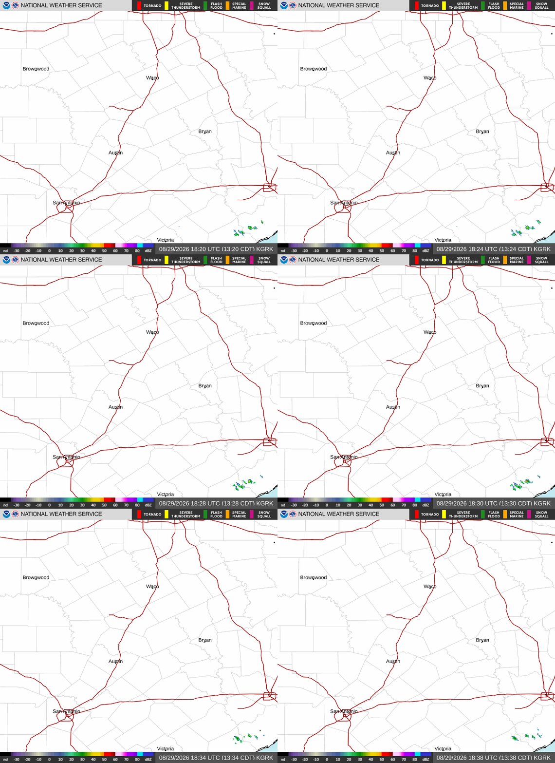
In the meantime...
- Attachments
-
- 777515965_10166574925337069_4546356226459395533_n.jpg
- (129.95 KiB) Not downloaded yet
-
captainbarbossa19

- Pro Met

- Posts: 464
- Joined: Mon Jun 28, 2021 2:50 pm
- Location: Conroe, TX
- Contact:
I think we are finished with triple digit temps after tomorrow in the Houston metro. Ridge starts breaking down and rain chances come up. It's also getting more difficult to heat up as much due to the changing sun angle.
-
Stratton20
- Posts: 5891
- Joined: Tue Feb 09, 2021 11:35 pm
- Location: College Station, Texas
- Contact:
I was just about to say, models are really going bye bye with the ridge, upper air pattern on the GFS would really draw in a lot of moisture into texas with a strong trough setting up over the western/ central US , ridge gets completely crushed
-
DoctorMu
- Posts: 8135
- Joined: Sun Jun 28, 2015 11:58 am
- Location: College Station
- Contact:
Ridging wanes near the beginning of September, but some models/Ensemble show a comeback around September 8-10.
100s in early and mid September in College Station are possible can even common. 17 100°F days in 2023. Tied for our all-time high of 112.5°F with multiple days in 2023 is September 4, 2000.
Having said that I see mid to upper 90s after tomorrow as well. 20-40% change of rain from tomorrow-Saturday. Αt least this afternoon was cloudy.
100s in early and mid September in College Station are possible can even common. 17 100°F days in 2023. Tied for our all-time high of 112.5°F with multiple days in 2023 is September 4, 2000.
Having said that I see mid to upper 90s after tomorrow as well. 20-40% change of rain from tomorrow-Saturday. Αt least this afternoon was cloudy.
-
Stratton20
- Posts: 5891
- Joined: Tue Feb 09, 2021 11:35 pm
- Location: College Station, Texas
- Contact:
I can say this, whatever ridging enswmbles show in september, it looks very weak, ensemble mean is around 591 DM, our current heat ridge is progged at 597 DM. Im pretty optimistic we will start to see the demise of the heat ridge over the next couple of weeks, that and as captainbarbossa mentioned, sun angle is naturally decreasing as we head towards september , stoll 90’s ahead. But i dont see ridging of this magnitude returning after these next few days