
Yeah it was in this morning 's AFD...a mention..
July 2026
-
tireman4

- Global Moderator

- Posts: 7160
- Joined: Wed Feb 03, 2010 9:24 pm
- Location: Humble, Texas
- Contact:
-
DoctorMu

- Posts: 8084
- Joined: Sun Jun 28, 2015 11:58 am
- Location: College Station
- Contact:
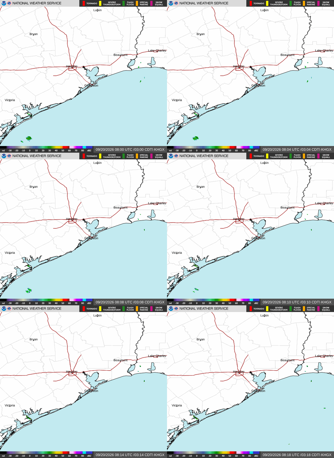
A nice little wave of isolated Bertha showers moving toward the Houston area and NE 'burbs. We'll probably get missed, but just as Travis Herzog progged.
-
DoctorMu
- Posts: 8084
- Joined: Sun Jun 28, 2015 11:58 am
- Location: College Station
- Contact:
-
djmike

- Posts: 1883
- Joined: Fri Jan 07, 2011 12:19 pm
- Location: BEAUMONT, TX
- Contact:
103 in Beaumont. It’s brutal. But looks like we get in on the approaching rain band. Thank goodness! Never seen rain sizzle when it hits the ground! 

Mike
Beaumont, TX
(IH-10 & College Street)
Beaumont, TX
(IH-10 & College Street)
-
DoctorMu
- Posts: 8084
- Joined: Sun Jun 28, 2015 11:58 am
- Location: College Station
- Contact:
103.8°F with 125° Heat Index.
I need some shower power. The Woodlands has a chance, but the herd of showers appears to be riding Hwy 1*5.
I need some shower power. The Woodlands has a chance, but the herd of showers appears to be riding Hwy 1*5.
Last edited by DoctorMu on Wed Jul 22, 2026 4:37 pm, edited 1 time in total.
-
Cromagnum
- Posts: 3074
- Joined: Thu Feb 03, 2011 10:42 pm
- Location: Georgetown
- Contact:
105 IMBY in Georgetown right now and was 104 yesterday. Took well past midnight to cool the house off.
-
Stratton20
- Posts: 5867
- Joined: Tue Feb 09, 2021 11:35 pm
- Location: College Station, Texas
- Contact:
LLC now making the SW turn toward the gulf, will only have about 24 hours over water , NE shear has decreased a bit in the western gulf , lets see if Bertha has one last fight in her before moving inland again
-
DoctorMu
- Posts: 8084
- Joined: Sun Jun 28, 2015 11:58 am
- Location: College Station
- Contact:
A new, elongated LLC is forming as the MLC over the Gulf threw the LLC over the French Quarter a lifeline.
It ain't over 'til it's over.
It ain't over 'til it's over.
-
jasons2k

- Posts: 6200
- Joined: Thu Feb 04, 2010 12:54 pm
- Location: Imperial Oaks
- Contact:
105° today
-
Cromagnum
- Posts: 3074
- Joined: Thu Feb 03, 2011 10:42 pm
- Location: Georgetown
- Contact:
107 IMBY right now...
-
DoctorMu
- Posts: 8084
- Joined: Sun Jun 28, 2015 11:58 am
- Location: College Station
- Contact:
105°F high IMFY. Highest heat index of 135°F. It felt like the inside of a car on a hot day outside. Insane.
We just missed a show by about 6-7 miles. Unfortunately, the tropical moisture shot the DP to 82°F.


We just missed a show by about 6-7 miles. Unfortunately, the tropical moisture shot the DP to 82°F.
-
MontgomeryCoWx

- Posts: 2753
- Joined: Wed Dec 14, 2011 4:31 pm
- Location: Weimar, TX
- Contact:
Got up to 82 here with a north wind. Intentionally left this week before 2 a days start for the oldest.
I’ll be back when it drops several degrees.
I’ll be back when it drops several degrees.
Team #NeverSummer
-
Ptarmigan
- Statistical Specialist

- Posts: 4534
- Joined: Wed Feb 03, 2010 7:20 pm
- Contact:
-
ClearLake77
- Posts: 27
- Joined: Fri Jul 05, 2024 1:45 pm
- Contact:
Whew that storm today caught me at Costco! Went to get fans cause the AC stopped working. The rain was welcome
-
Ptarmigan
- Statistical Specialist
- Posts: 4534
- Joined: Wed Feb 03, 2010 7:20 pm
- Contact:

-
Cromagnum
- Posts: 3074
- Joined: Thu Feb 03, 2011 10:42 pm
- Location: Georgetown
- Contact:
11PM last night and it was still 91 degrees, with 50% humidity. Absolutely rotten.
-
Pas_Bon
- Posts: 968
- Joined: Tue Sep 11, 2018 7:58 am
- Location: League City, TX
- Contact:
Each morning I wake up and tell myself, "One day closer to that first substantial cool front."
(Please hurry)
I partially blame this on the "100 degrees is better than 30 degrees crowd." Shush.
(Please hurry)
I partially blame this on the "100 degrees is better than 30 degrees crowd." Shush.
Last edited by Pas_Bon on Thu Jul 23, 2026 9:32 am, edited 1 time in total.
-
jasons2k
- Posts: 6200
- Joined: Thu Feb 04, 2010 12:54 pm
- Location: Imperial Oaks
- Contact:
Yes, I have my own weather machine to crank the heat. It’s all my fault.
-
tireman4
- Global Moderator
- Posts: 7160
- Joined: Wed Feb 03, 2010 9:24 pm
- Location: Humble, Texas
- Contact:
-
tireman4
- Global Moderator
- Posts: 7160
- Joined: Wed Feb 03, 2010 9:24 pm
- Location: Humble, Texas
- Contact:
Travis Herzog
8 AM Thursday Bertha Update
A Tropical Storm Warning is in effect for the coastal regions of Brazoria, Chambers, Galveston, and Jefferson Counties, which means that topical storm winds are expected somewhere within the warning area. These likely won’t be felt along the coast until the afternoon and evening, if at all.
Bertha remains a lopsided system with wind shear still tilting the circulation southwestward. There are actually two centers we are tracking today, the low-level center near the coast of Louisiana and the mid-level center in that big blob of storms over the Gulf. I’ve marked them with “L” and “M” on the map.
The pattern the last few days has been for the strongest storms and winds to develop under the mid-level center in the evening. Meanwhile, the low-level center remains mostly rain-free during the day until storms pop on the south side of the circulation and fill the gap between the two centers.
Assuming something similar happens today, I expect an uneventful morning, then we should end up with scattered downpours this afternoon and evening from Southeast Texas to South Texas. That’s also when the winds will also pick up and gust at times above 40 mph. The mid-level center is tracking toward the coast between Corpus Christi Bay and Matagorda Bay while the low-level center is tracking toward Houston, so the greatest risk of heavy rain and squally winds will be more over South Texas than Southeast Texas.
Locally, I don’t expect anything anywhere near as intense as the considerable severe thunderstorm that swirled around Bertha’s circulation yesterday evening, just missing Houston as it plowed toward the coast with 70 mph wind gusts.
We’ll keep a watchful eye on the rain and the winds today and keep you informed as needed.
abc13.com/13alertradar
8 AM Thursday Bertha Update
A Tropical Storm Warning is in effect for the coastal regions of Brazoria, Chambers, Galveston, and Jefferson Counties, which means that topical storm winds are expected somewhere within the warning area. These likely won’t be felt along the coast until the afternoon and evening, if at all.
Bertha remains a lopsided system with wind shear still tilting the circulation southwestward. There are actually two centers we are tracking today, the low-level center near the coast of Louisiana and the mid-level center in that big blob of storms over the Gulf. I’ve marked them with “L” and “M” on the map.
The pattern the last few days has been for the strongest storms and winds to develop under the mid-level center in the evening. Meanwhile, the low-level center remains mostly rain-free during the day until storms pop on the south side of the circulation and fill the gap between the two centers.
Assuming something similar happens today, I expect an uneventful morning, then we should end up with scattered downpours this afternoon and evening from Southeast Texas to South Texas. That’s also when the winds will also pick up and gust at times above 40 mph. The mid-level center is tracking toward the coast between Corpus Christi Bay and Matagorda Bay while the low-level center is tracking toward Houston, so the greatest risk of heavy rain and squally winds will be more over South Texas than Southeast Texas.
Locally, I don’t expect anything anywhere near as intense as the considerable severe thunderstorm that swirled around Bertha’s circulation yesterday evening, just missing Houston as it plowed toward the coast with 70 mph wind gusts.
We’ll keep a watchful eye on the rain and the winds today and keep you informed as needed.
abc13.com/13alertradar
- Attachments
-
- FB_IMG_1784816655812.jpg
- (152.25 KiB) Not downloaded yet