Are y'all looking at mesoscale models? The storms to the Northeast are the same storms that will congeal into a MCS and move southeast with the front late tonight/overnight.This MCS looks to effect areas along and east of I-45 all the way to the coast.I'm not concerned about severe weather in metro Houston, but looking forward to some heavy rain even if only brief.
don wrote: ↑Sun Apr 28, 2024 10:06 pm
Enhanced risk for tonight.
(What I posted earlier)
Are y'all looking at mesoscale models? The storms to the Northeast are the same storms that will congeal into a MCS and move southeast with the front late tonight/overnight.This MCS looks to effect areas along and east of I-45 all the way to the coast.I'm not concerned about severe weather in metro Houston, but looking forward to some heavy rain even if only brief.
downloadj (11).png
Yep - the Woodlands and east should see some heavy rain after midnight.
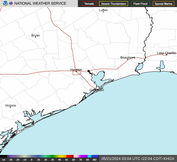
There's a new line of storms forming around Hempstead and moving SE.
Kinda looks like things might get a little more interesting out my way than what I was thinking. Hmmm, going to be an interesting next few hours it looks like.
This current storm complex is very reminiscent of the May 2015 Memorial Day Flooding event with this one shifted to the north & east with less areal coverage and a shorter duration as compared to the 2015 event.
869MB wrote: ↑Mon Apr 29, 2024 1:13 am
This current storm complex is very reminiscent of the May 2015 Memorial Day Flooding event with this one shifted to the north & east with less areal coverage and a shorter duration as compared to the 2015 event.
Yep it is a similar setup indeed, I hope the complex starts moving faster once its over the urban areas.If not there may be some ugly street flooding in the metro.
Over 4” in the last hour. Beaumont is flooding and many underpasses flooded. Just got the word to work from home and stay off the roads. Not a problem!
Area Forecast Discussion
National Weather Service Houston/Galveston TX
649 AM CDT Mon Apr 29 2024
...New AVIATION...
.SHORT TERM...
(Today through Tuesday Night)
Issued at 334 AM CDT Mon Apr 29 2024
Dangerous flash flooding is ongoing across portions of the region
as training showers and thunderstorms slowly sag southward across
the region. With a swath of 5-7" rain and localized 10+ across
northern parts, rivers are on the rise...some forecast into moderate
flood stage. Even though rain will be ending, water will be slow
to recede and the reminder to not drive thru flooded roadways
stands.
The stronger llvl jet that has been feeding deep Gulf moisture
into the line is in the process of shifting to the east. Expect
the cold pool to eventually push the majority of ongoing convection
off the coast and to the ese as we head into the sunrise hours. In
the meantime, southern parts of the CWA should anticipate some
isolated strong-severe storms and locally heavy rain. Will
maintain Flood Watch as is into mid morning for messaging
purposes. Though the metro area itself is not within the Watch,
this does not mean there will not be some isolated impacts...in
fact - one can probably expect a few issues (localized street
flooding, etc). HRRR, which has done an excellent job with this
event, still shows the potential for some small pockets of 2-5"
totals along/south of a Cleveland-Angleton line.
The boundary pushes offshore this morning with clearing/fair wx
emerging in its wake by the mid morning and afternoon hours.
Pressures fall the the west, and southeast winds will resume and
drive it, and associated deeper Gulf moisture back into the area
Tuesday. Will probably see some sct shra/tstm development across
sw/s parts of the CWA during the day into early evening. 47
&&
.LONG TERM...
(Wednesday through Sunday)
Issued at 334 AM CDT Mon Apr 29 2024
A continued challenging and somewhat unsettled fcst for the extended.
Some subtle mid level ridging will nudge the trajectory of a series
of upper level impulses in the emerging sw flow aloft to favor
the northern half of the region. Can`t pinpoint any single disturbance
or timeframe, but combination of those plus 1.7-2.0" PW`s, daytime
heating, and seabreeze should keep chances of shra/tstms in the
fcst pretty much on a daily basis during the second half of the
work week and the weekend. More concerning is the potential for
another weak frontal boundary to sag into the region around Friday
and potentially stall. Regardless, soils across several parts of
the area will be saturated and prone to quicker runoff with any
additional moderate-heavy rain that decides to develop. 47
&&
.AVIATION...
(12Z TAF Issuance)
Issued at 643 AM CDT Mon Apr 29 2024
Strong to severe thunderstorms are already east of the terminals,
with the exception of GLS. -RA/VCTS will continue through around
13/14Z. Winds will generally remain light and variable, mainly
north of IAH. Southeasterly winds around 5 to 10 knots will be
possible over the coastal terminals. MVFR conditions due to low
ceilings and fog are again expected tonight, towards the end of
this TAF cycle.
JM
&&
.MARINE...
Issued at 334 AM CDT Mon Apr 29 2024
Small craft advisories and high risk of rips will continue today.
Strong to severe cells are in the process of approaching the
coast and should be moving offshore during the early and mid
morning hours. Look for strong winds and variable directions along
with chaotic seas as this occurs. A long fetch of southeast winds
has been in place for several days and although winds will
generally be lower into midweek, seas should remain on the
elevated side for a good portion of the week. Periods of unsettled
weather are possible, though better shower and thunderstorm
chances should be situated a bit further inland. 47
&&
.HYDROLOGY...
Issued at 334 AM CDT Mon Apr 29 2024
Rivers will be on the rise...some well into moderate flood
territory as heavy rain continues to runoff into area watersheds.
Additional chances of rain are in the forecast throughout a good
part of the week. General trajectories of the upper level
disturbances into mid-late week appear to be over the same
locations we saw overnight. Nothing screams anywhere as extreme as
what we are experiencing, though any additional heavy rain over
saturated soils will quickly runoff and cause further river responses
that`ll need to be monitored with time. 47
We ended up at .19 for the entire Sunday/Monday event in Fairfield. Looking at the radar loop we got really close to a good soaking at 2:30 but it just missed us. In all the bad news with tornadoes and flooding, there was some good news. We were in New Braunfels for the weekend and Sunday morning they got a really good 2 hours of heavy rain in an area that desperately needed it.


The storms to the Northeast are the same storms that will congeal into a MCS and move southeast with the front late tonight/overnight.This MCS looks to effect areas along and east of I-45 all the way to the coast.I'm not concerned about severe weather in metro Houston, but looking forward to some heavy rain even if only brief.
 The storms to the Northeast are the same storms that will congeal into a MCS and move southeast with the front late tonight/overnight.This MCS looks to effect areas along and east of I-45 all the way to the coast.I'm not concerned about severe weather in metro Houston, but looking forward to some heavy rain even if only brief.