
March 2024

An outflow came through here from the north. Temp dropped to 76. Hope it doesn’t jack things up for me.

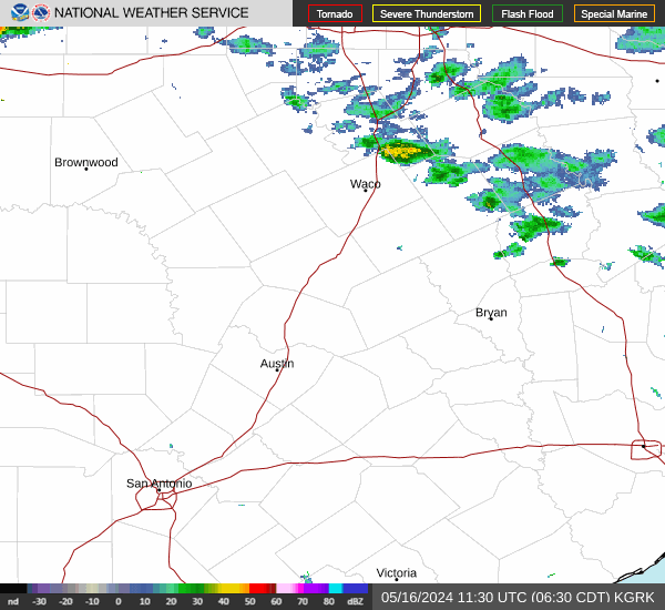
Its getting very stormy out there. Rush hours gonna be rough today.
Boom!

BULLETIN - IMMEDIATE BROADCAST REQUESTED
Severe Thunderstorm Warning
National Weather Service Houston/Galveston TX
418 PM CDT Fri Mar 15 2024
The National Weather Service in League City has issued a
* Severe Thunderstorm Warning for...
Northeastern Fort Bend County in southeastern Texas...
South central Harris County in southeastern Texas...
* Until 500 PM CDT.
* At 418 PM CDT, a severe thunderstorm was located over northern
Missouri City, moving northeast at 20 mph.
HAZARD...60 mph wind gusts and quarter size hail.
SOURCE...Radar indicated.
IMPACT...Hail damage to vehicles is expected. Expect wind damage
to roofs, siding, and trees.
* Locations impacted include...
Northwestern Pasadena, Sugar Land, Missouri City, Stafford, South
Houston, Bellaire, West University Place, Galena Park, Hunters
Creek Village, Piney Point Village, Midtown Houston, Downtown
Houston, Greenway / Upper Kirby Area, Second Ward, Greater Heights,
Neartown / Montrose, Town West, Greater Eastwood, Near Northside
Houston, and Greater Fifth Ward.
PRECAUTIONARY/PREPAREDNESS ACTIONS...
For your protection move to an interior room on the lowest floor of a
building.
Flood warnings may be incoming as these storms are taking there time moving through the metro.The rodeo carnival grounds are flooding with small hail btw.

Nothing up here, but the front overperformed and congrats on the action near Katy and HOU
The mesos were wrong but in a different manner than expected. The action is much farther south this Friday than expected..
There are more waves tomorrow. I hope everyone sees some rain.
I mean - I put down fertilizer, weed killer and watered...that usually does it!
We have a northerly breeze now, cooler and cloudy. I can't complain too much.
The good and bad news up here. I don't see any severe weather in CLL for the next 12 hours. But no rain either. At least it isn't hot!
My wife - why doesn't it just rain already?!
https://youtu.be/C_xek3p0ya0?si=DZtb7NBu4hvIAPyf
That's one mean cell in Ft Bend county.
Pretty mean cell and pretty close for comfort. Need rain, but not a hailstorm.


The core of that Brazoria County storm missed me south. I didn't want any part of that, but now barely getting rain too.
1.40" here! With more rain to come. And Sundays starting to look like it could be the wettest day this weekend.
 With more rain to come. And Sundays starting to look like it could be the wettest day this weekend.
I got 1.80 inches at my house.
-
captainbarbossa19

- Posts: 401
- Joined: Mon Jun 28, 2021 2:50 pm
- Location: Starkville, MS
- Contact:
Heading back tomorrow to Mississippi. Raining here now. More rain later this weekend is on the way with another system towards the end of next week. Looks like an active pattern is setting up now.
Try and post pics later. Lost a 35-40 ish foot oak tree that was in the front yard. Thankfully it cleanly missed the house. But snagged two of the cars in the driveway that weren't in the garage.
A mere 0.40 inches. I'll take it but want 10x more this weekend.
I got exactly 1.00” here. Grateful for some rain.

-
MontgomeryCoWx

- Posts: 2356
- Joined: Wed Dec 14, 2011 4:31 pm
- Location: Weimar, TX
- Contact:
Bellville got hammered with hail. I have a video of a couple inch accumulation of hail and the temp dropped to the 50s.
Trees down everywhere and cars in ditches.
Trees down everywhere and cars in ditches.
Team #NeverSummer
Picked up 2.8” here. Awesome rain!
My friend was in that! She texted me some pics cuz she knows I’m crazy about the weather lolMontgomeryCoWx wrote: ↑Fri Mar 15, 2024 7:39 pm Bellville got hammered with hail. I have a video of a couple inch accumulation of hail and the temp dropped to the 50s.
Trees down everywhere and cars in ditches.