Some of yall are using that term "bust" way too loosly these days. The MCS has developed as forecast this is not a bust. Just because some models have shown the upper end of what is possible if everything came together when it comes to qpf amounts(3-5 inches). The "official" forecast has always been for 1-2 inches of rain.At least wait till the MCS passes through before calling an event a bust. LOL
Also to those saying the events the last couple of years have underperformed qpf wise. Yall are right the background state of the atmosphere has not supported overperformance of rainfall. As a result we are in a multi year drought similar to 2010-2013. Though not as bad as that drought was.The switch will eventually flip again though like it did in 2015-2019.
0.08 with last night's streamer cells - that's all...although south of us got some decent rain.. We have a broken line of showers, T-storms approaching. My guess is we'll get about 0.5 inches. Maybe a little more.
Stratton20 wrote: ↑Fri Oct 28, 2022 11:14 am
the ULL will be ejecting off to the NE, this line is our last opportunity for rainfall
No its not our last opportunity for rainfall today. Models have been showing since yesterday a secondary line of storms coming through tonight as the ULL passes,especially along and north of I-10.
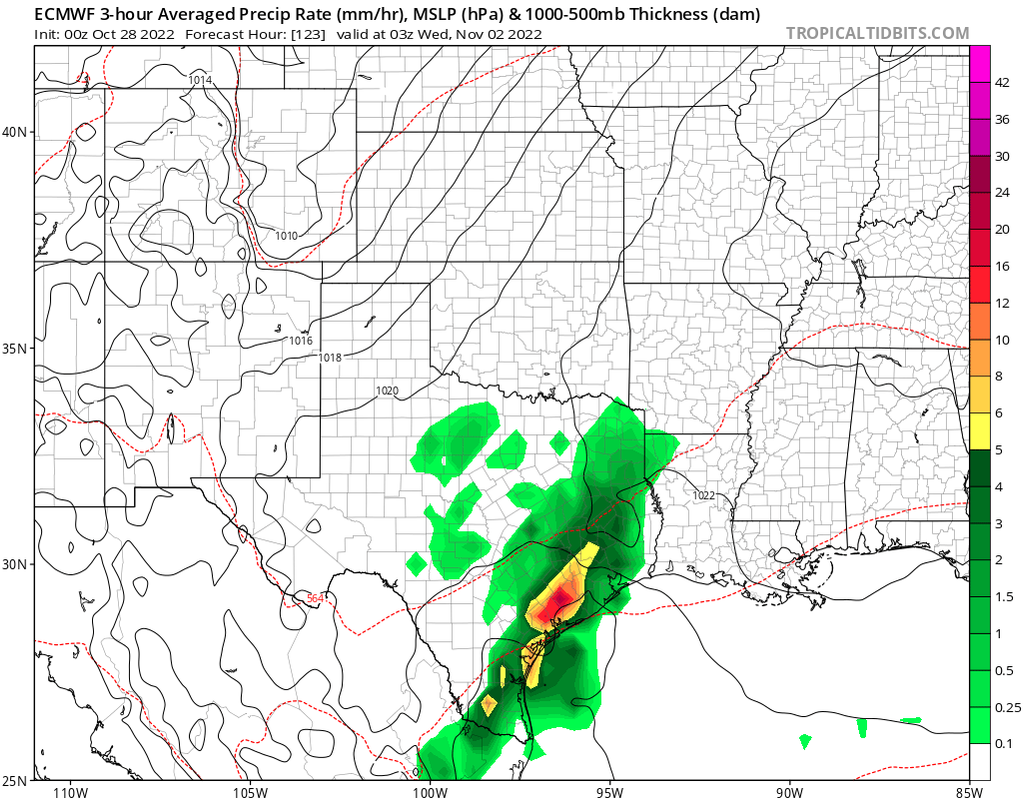
Next decent chance of rain after this will be on Tuesday but it’s gonna be a close call as to where it sets up. It might be just off the coast again. Then possibly next Friday/Saturday there could be another opportunity. But yeah given the background state we should go on the low end of what models are saying. So for example, if they’re saying 1-2”, majority of us will get 1” rather than 2”. The switch will flip and will be the other way around at some point but that’s probably still several months away.
The area from Hempstead to Eagle Lake right now is getting a flat out downpour. It’s raining pretty good here too but not nearly as heavy as it’s raining in that area. If it can hold together you guys in Harris County should be getting some good rains.
Why did the line get more organized after it passed my area?, not sure if thats a question that can really be answered but I have noticed that occasionally these squall lines will get more organized after they pass my area, maybe the environment was a little more stable in my area but a little more unstable to the east of me
Stratton20 wrote: ↑Fri Oct 28, 2022 1:45 pm
Why did the line get more organized after it passed my area?, not sure if thats a question that can really be answered but I have noticed that occasionally these squall lines will get more organized after they pass my area, maybe the environment was a little more stable in my area but a little more unstable to the east of me
Well you know, there are Met courses at A&M that can help answer that..lol
Stratton20 wrote: ↑Fri Oct 28, 2022 1:45 pm
Why did the line get more organized after it passed my area?, not sure if thats a question that can really be answered but I have noticed that occasionally these squall lines will get more organized after they pass my area, maybe the environment was a little more stable in my area but a little more unstable to the east of me
There tends to be more moisture the more east and south you get in the state due to the closer proximity of the Gulf(and the curvature of the coast line).And less of an influence from the dry air that comes from the desert southwest(and the SW flow aloft). Happens even more often to those west of you along the I-35 corridor,where its pretty common for squall lines to not develop until they get east of them as the frontal boundary encounters more moisture and unstable air as it gets closer to the gulf.


 the background state of the atmosphere has not supported overperformance of rainfall. As a result we are in a multi year drought similar to 2010-2013. Though not as bad as that drought was.The switch will eventually flip again though like it did in 2015-2019.