

TD 4: Central Atlantic
-
srainhoutx

- Site Admin

- Posts: 19616
- Joined: Tue Feb 02, 2010 2:32 pm
- Location: Maggie Valley, NC
- Contact:
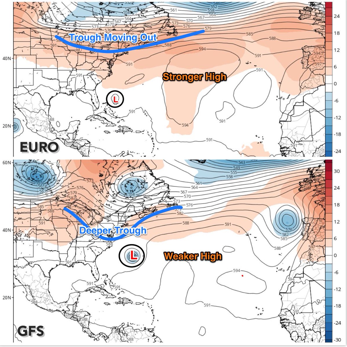
INVEST 94L in the Central Atlantic remains at a low latitude attached to the monsoonal trough and has been struggling to maintain deep organized convection as it moves generally West ahead of a surge of Saharan Dust. The NHC gives 94L a 70% chance of becoming a Tropical Cyclone over the next 5 days and likely poses no real threat to land and almost certainly no threat to the Gulf of Mexico at this time.
- Attachments
-
Carla/Alicia/Jerry(In The Eye)/Michelle/Charley/Ivan/Dennis/Katrina/Rita/Wilma/Humberto/Ike/Harvey
Member: National Weather Association
Facebook.com/Weather Infinity
Twitter @WeatherInfinity
Member: National Weather Association
Facebook.com/Weather Infinity
Twitter @WeatherInfinity

10 days out. "Don" probably won't be a direct threat to land but should sweep around the Bermuda High...and wave at the US east coast.
Initial spaghetti models:

ZCZC MIATWOAT ALL
TTAA00 KNHC DDHHMM
Tropical Weather Outlook
NWS National Hurricane Center Miami FL
800 AM EDT Mon Jul 3 2017
For the North Atlantic...Caribbean Sea and the Gulf of Mexico:
1. A nearly stationary broad area of low pressure located about 650
miles west-southwest of the Cabo Verde Islands continues to produce
disorganized showers and thunderstorms. Environmental
conditions are expected to become more conducive for development,
and a tropical depression could form later this week. The
disturbance is expected to begin moving west-northwestward in a day
or so, and it should continue moving in that direction through the
remainder of the week.
* Formation chance through 48 hours...low...20 percent.
* Formation chance through 5 days...high...70 percent.
Forecaster Cangialosi
Initial spaghetti models:
ZCZC MIATWOAT ALL
TTAA00 KNHC DDHHMM
Tropical Weather Outlook
NWS National Hurricane Center Miami FL
800 AM EDT Mon Jul 3 2017
For the North Atlantic...Caribbean Sea and the Gulf of Mexico:
1. A nearly stationary broad area of low pressure located about 650
miles west-southwest of the Cabo Verde Islands continues to produce
disorganized showers and thunderstorms. Environmental
conditions are expected to become more conducive for development,
and a tropical depression could form later this week. The
disturbance is expected to begin moving west-northwestward in a day
or so, and it should continue moving in that direction through the
remainder of the week.
* Formation chance through 48 hours...low...20 percent.
* Formation chance through 5 days...high...70 percent.
Forecaster Cangialosi
-
TexasBreeze
- Posts: 942
- Joined: Sun Sep 26, 2010 4:46 pm
- Location: NW Houston, TX
- Contact:
It has become TD #4 now. Not expected to do much, but carry wnw and will need to be watched further down the road.