sambucol wrote: ↑Fri Sep 18, 2020 1:32 pm
The data from the recon tonight will clarify more regarding track and areas that will receive the rainfall. The models might change.
The low level recon flights that take place generally don't have significant impact on longer range modeling output.
It won't be until the G-IV synoptic missions and data is assimilated in will there be a little more confidence. Those missions won't start until sometime overnight or tomorrow and probably won't be until the 12z run on Saturday at the earliest before we see any impacts.
jasons2k wrote: ↑Fri Sep 18, 2020 2:21 pm
If these small west shifts continue, we could see our rainfall totals go up significantly. Something to watch.
Exactly what I’m thinking. Next Euro run could have it riding the 59 corridor.
Well I'm going to take the wife fishing at the beach casa. Might be about a week or so before you can get back on the beach. With this type of setup there has the potential to be some serious overwashing up and down the coast for a much longer duration than normal.
Topical depression 22 has been upgraded to a tropical storm Beta now.
Tropical Storm Beta Discussion Number 5
NWS National Hurricane Center Miami FL AL222020
400 PM CDT Fri Sep 18 2020
Satellite imagery indicates that the circulation of Tropical
Depression 22 has become better defined, and most objective and
subjective satellite intensity estimates are now 35 kt. Based on
this, along with 33 kt 1-mi average winds from NOAA buoy 42002, the
depression is upgraded to Tropical Storm Beta with an initial
intensity of 35 kt. Although the system is now a tropical storm,
satellite imagery shows that the convective pattern is becoming
elongated due to the effects of southwesterly vertical wind shear.
Visible imagery and scatterometer data showed that the center of
Beta was a bit farther east than previously thought, and the initial
motion is a somewhat uncertain 025/8. This motion should continue
for the next 12-24 h as the storm is steered by a mid- to
upper-level trough over Texas and northeastern Mexico. After that
time, the trough should weaken and lift out to the northeast, with a
mid-level ridge building to the north of the cyclone above an
already present low-level ridge. This ridge should act as a Beta
blocker, causing the storm to turn westward toward the western Gulf
coast. Between 72-120 h, the mid-level ridge weakens as another
mid-latitude trough moves through the central United States, and
this is expected to cause the storm to slowly recurve toward the
northeast. One change in the track guidance since the previous
forecast is that the GFS and ECMWF are a bit faster on the westward
motion and show the center near the Texas coast in about 72 h. The
latter part of the new track forecast also shifts westward, but it
is still to the east of the GFS/ECMWF. There is also a chance that
Beta could move more northward than forecast before the trough lifts
out, which adds an additional touch of uncertainty to the track
forecast. So, it is critical that users not focus on the exact
forecast track, especially at days 3 to 5.
The global models suggest that the current shear may decrease a
little after 24 h when the upper-level trough moves away from Beta.
However, there is a chance of at least some dry air entrainment
that would hamper strengthening. The intensity guidance for the
most part continues to forecast Beta to reach a peak intensity
below hurricane strength, although the latest SHIPS model forecasts
a peak intensity near 65 kt. The new intensity forecast is again
unchanged in making Beta a hurricane at 60 and 72 h, and it lies at
the upper edge of the intensity guidance.
Key Messages:
1. Beta is expected to strengthen and possibly become a hurricane,
while moving slowly over the western Gulf of Mexico during the next
few days.
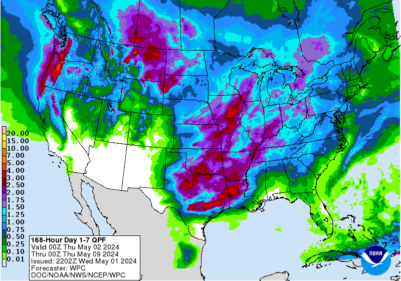
2. There is an increasing risk of heavy rainfall and flooding along
the northwest Gulf Coast Sunday through at least the middle of next
week as Beta is forecast to move slowly toward and along or offshore
of the coast through that time. For additional information, see
products from your local National Weather Service office.
3. While it is too early to determine what areas could see direct
wind and storm surge impacts from Beta, interests throughout
the western Gulf of Mexico should monitor the progress of this
system and future updates to the forecast. Storm Surge and
Tropical Storm or Hurricane watches could be issued tonight or
Saturday.
Luckily, as long as the system stays off-shore when it stalls the largest flooding risk will also stay offshore. My biggest concern is the same one repeated here several times, and that is the little margin of error we have before the system could track over Texas.
For Your Infinite Source For All Things Weather Visit Our Facebook
18z GFS does a Corpus landfall, goes back offshore, parallels just off the coast, does a loop south of LA/TX, then inland again Cameron.
Most heavy rain away from land minus the Corpus area.
It looks like the center is much further NE than what is pegged looking at recon. This is going to be interesting to see what models and the NHC do later tonight/tomorrow.
The more northeast Beta moves in the short term the higher chance it makes a bend west further up the coast, increasing impacts for Southeast Texas.The latest 18z HRWF shows this with a landfall just East of Matagorda Bay. High pressure building in from today's front will stop Beta from continuing to move northeast into Louisiana.
Ah gotcha! How strong is the high now? They mentioned it would be building in more in the low and mid levels, but how fast? Maybe it could continue ne and head out sooner? Just playing advocate here.
It looks like weak fading tropical disturbance this evening. Lets hope this continues onward and will enjoy Beta's Upper TX Coast sunset with drier air this evening. Still so many unknowns at this point and we must stay tropical weather aware.
I think the theme for this storm...as Jeff, the NHC and pretty much everyone have said all along...is that expect more surprises along the way. And remember it's not uncommon to see a lot of wild swings with the first set of advisories while the center and core get established.